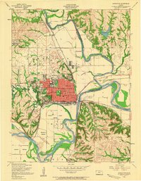
1955 Map of Manhattan
USGS Topo · Published 1958About this map
The Kansas State College campus serves as the central anchor for this mid-1950s survey of Manhattan, showcasing a period of significant post-war development in Riley County. The city layout is clearly defined, with Memorial Stadium, St Marys Hospital, and the downtown Courthouse providing a glimpse into the civic infrastructure of the era. To the north, the Big Blue River meanders toward its confluence with the Kansas River, passing through the fertile river valley near Rocky Ford and Moehlman Bottoms.
Find a feature on this map
64 named features on this map. Tap any name to fly to it.
Don’t see what you’re looking for? This feature index may not catch every label — zoom into the map to look around manually.
Map Details
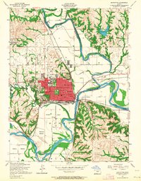
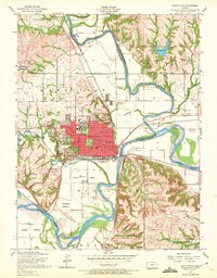
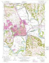
Editions of this 1955 Manhattan Map
4 editions found
Other maps of this area

1886 · Junction City
USGS Topo · 1:125,000

1889 · Wamego
USGS Topo · 1:125,000

1889 · Junction City
USGS Topo · 1:125,000

1894 · Junction City
USGS Topo · 1:125,000

1894 · Wamego
USGS Topo · 1:125,000

1947 · Manhattan
USGS Topo · 1:62,500

1950 · Keats
USGS Topo · 1:24,000

1950 · Manhattan
USGS Topo · 1:24,000

1951 · Swede Creek
USGS Topo · 1:24,000

1951 · Ogden
USGS Topo · 1:24,000