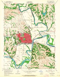
1955 Map of Manhattan
USGS Topo · Published 1964About this map
Kansas State College dominates the central landscape of this mid-1950s survey, surrounded by the growing grid of Manhattan. The town sits at the strategic confluence where the Big Blue River meets the Kansas River, a site defined by fertile lowlands like Moehlman Bottoms and Ashland Bottoms. The mapping reveals a community focused on education and infrastructure, with numerous neighborhood institutions including Bluemont School, Eugene Field School, and the College Hill School serving the residential blocks.
Find a feature on this map
56 named features on this map. Tap any name to fly to it.
Don’t see what you’re looking for? This feature index may not catch every label — zoom into the map to look around manually.
Map Details
Editions of this 1955 Manhattan Map
4 editions found
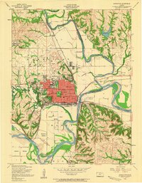
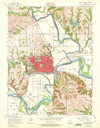
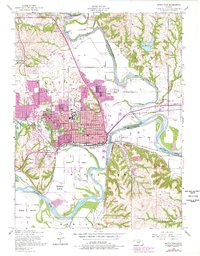
Other maps of this area

1886 · Junction City
USGS Topo · 1:125,000

1889 · Wamego
USGS Topo · 1:125,000

1889 · Junction City
USGS Topo · 1:125,000

1894 · Junction City
USGS Topo · 1:125,000

1894 · Wamego
USGS Topo · 1:125,000

1947 · Manhattan
USGS Topo · 1:62,500

1950 · Keats
USGS Topo · 1:24,000

1950 · Manhattan
USGS Topo · 1:24,000

1951 · Swede Creek
USGS Topo · 1:24,000

1951 · Ogden
USGS Topo · 1:24,000