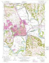
1955 Map of Manhattan
USGS Topo · Published 1978About this map
The Big Blue River and Kansas River converge here, framing the mid-century development of Manhattan. This 1955 survey, updated with late-1970s aerial data, highlights the academic heart of the city at Kansas State University, including Memorial Stadium and the adjacent College Hill School. The landscape transitions from the dense urban grid between Anderson Avenue and Poyntz Avenue to the fertile agricultural stretches of Ashland Bottoms and Moehlman Bottoms to the south. Notable civic infrastructure of the era is well-documented, from the Riley County Hospital to the Courthouse and Post Office. Topographic features like Stagg Hill, Rock Hill, and Bluemont Hill provide natural boundaries to the growing city, while the Union Pacific and Chicago Rock Island and Pacific railroads illustrate the vital transportation corridors that shaped the local economy before the expansion of the modern interstate system.
Find a feature on this map
52 named features on this map. Tap any name to fly to it.
Don’t see what you’re looking for? This feature index may not catch every label — zoom into the map to look around manually.
Map Details
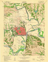
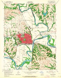
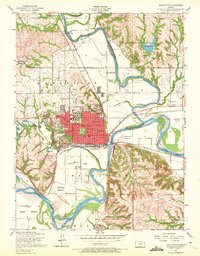
Editions of this 1955 Manhattan Map
4 editions found
Other maps of this area

1886 · Junction City
USGS Topo · 1:125,000

1889 · Wamego
USGS Topo · 1:125,000

1889 · Junction City
USGS Topo · 1:125,000

1894 · Junction City
USGS Topo · 1:125,000

1894 · Wamego
USGS Topo · 1:125,000

1947 · Manhattan
USGS Topo · 1:62,500

1950 · Keats
USGS Topo · 1:24,000

1950 · Manhattan
USGS Topo · 1:24,000

1951 · Swede Creek
USGS Topo · 1:24,000

1951 · Ogden
USGS Topo · 1:24,000