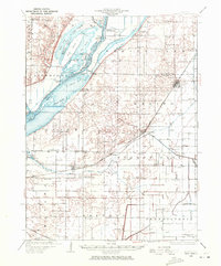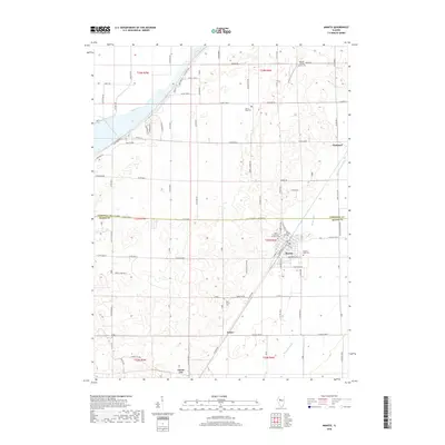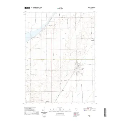
1932 Map of Manito
USGS Topo · Published 1932About this map
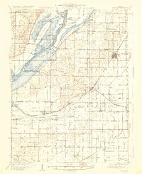
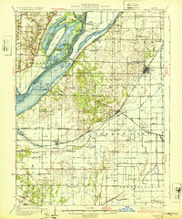
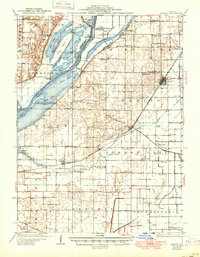
The Illinois River valley dominates this 1932 study, revealing a complex network of wetlands and early water management efforts in Mason and Tazewell counties. Broad backwaters like Rice Lake, Miserable Lake, and Goose Lake flank the river, punctuated by the narrow Hoxie Ridge and the Duck Island Hunting Club. The map documents a transition from natural sloughs, such as Buckbrush Slough, to an extensive system of man-made drainage, including the Quiver Ditch and Main Ditch. This infrastructure was vital for the agricultural development of the surrounding prairie.
Find a feature on this map
99 named features on this map. Tap any name to fly to it.
Don’t see what you’re looking for? This feature index may not catch every label — zoom into the map to look around manually.
Map Details
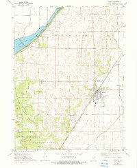
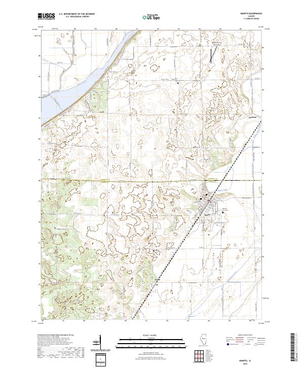
Editions of this 1932 Manito Map
3 editions found
Historical Maps of Manito Through Time
8 maps found