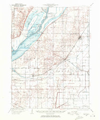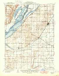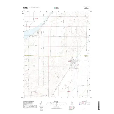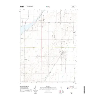
1971 Map of Manito
USGS Topo · Published 1973About this map
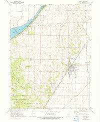
The village of Manito anchors this 1970s survey, situated along the Chicago and Illinois Midland railroad at the boundary between Tazewell and Mason counties. The landscape is defined by the transition from the reclaimed agricultural lands of the Illinois River floodplain to the timbered dunes of Sand Ridge State Forest. A complex network of drainage infrastructure, including Hickory Grove Ditch and Quiver Ditch, illustrates the extensive engineering required to manage the low-lying terrain for farming. In the northwestern corner, Spring Lake State Park preserves a massive backwater lake, while local landmarks like Waddell Airport and Forman High Sch provide a detailed look at the rural community structure during this era. Genealogists will find several burial grounds noted, such as Meadow Lawn Cem and Cane Grove Cem.
Find a feature on this map
24 named features on this map. Tap any name to fly to it.
Don’t see what you’re looking for? This feature index may not catch every label — zoom into the map to look around manually.
Map Details
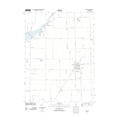
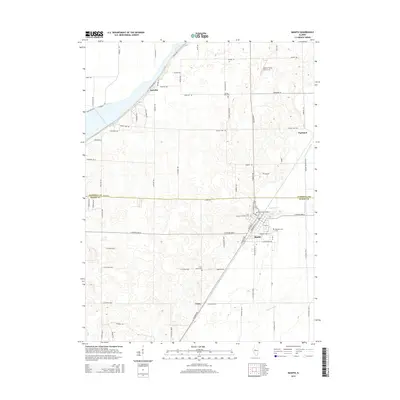
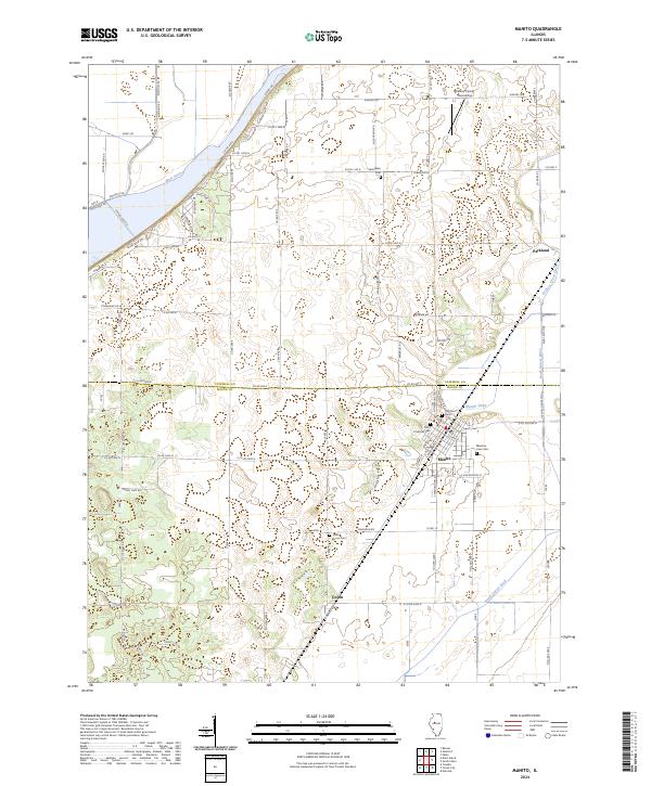
Editions of this 1971 Manito Map
2 editions found
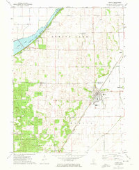
Historical Maps of Manito Through Time
8 maps found