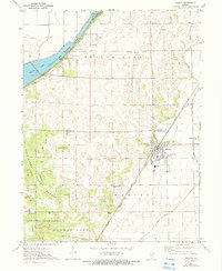
1971 Map of Manito
USGS Topo · Published 1990About this map
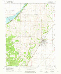
Manito serves as the primary hub of this central Illinois landscape, situated at the junction of the Chicago and Illinois Midland railroad and several local drainage arteries like the Main Ditch and Hickory Grove Ditch. The geography is defined by a distinct contrast between the flat, drained agricultural lands to the east and the heavily forested dunes of the Sand Ridge State Forest to the west. This forest area includes several firebreaks and the Forest Headquarters, while the northern reach is dominated by the waters of Spring Lake and its accompanying Spring Lake State Park. Genealogists will find numerous burial sites concentrated around the settlements, including St Fredrick Cem, Meadow Lawn Cem, and Coon Grove Cem. The presence of the Forman High Sch and the Spring Lake Ch reflects the established community infrastructure of the early 1970s.
Find a feature on this map
31 named features on this map. Tap any name to fly to it.
Don’t see what you’re looking for? This feature index may not catch every label — zoom into the map to look around manually.
Map Details
Editions of this 1971 Manito Map
2 editions found
Other maps of this area

1905 · Peoria
USGS Topo · 1:62,500

1927 · Peoria
USGS Topo · 1:62,500

1929 · Manito
USGS Topo · 1:62,500

1930 · Glasford
USGS Topo · 1:62,500

1932 · Manito
USGS Topo · 1:62,500

1942 · Delavan
USGS Topo · 1:62,500

1948 · Glasford
USGS Topo · 1:62,500

1958 · Peoria
USGS Topo · 1:250,000

1960 · Pekin
USGS Topo · 1:24,000

1961 · Peoria
USGS Topo · 1:250,000