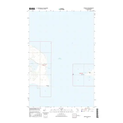
2017 Map of Manitou Island
USGS Topo · Published 2017About this map
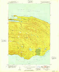
Keweenaw Point marks the northeastern tip of the mainland in this coastal survey, where the terrestrial landscape yields to the expanse of Lake Superior. The topography is defined by significant inland water bodies such as Schlatter Lake and Gill Lake, which sit just west of the peninsula's terminus. To the east, across a narrow channel, lies Manitou Island, flanked by smaller formations like Gull Rock. This area represents a quiet, unpopulated stretch of the Upper Peninsula, accessible via the Rocket-Rouge Trl. The map details the complex shoreline interaction of High Rock Bay and the dual inlets of North Bay and South Bay on the island. The drainage patterns of small coastal streams, including Union Cr, illustrate the watershed flow into the surrounding Great Lake.
Find a feature on this map
14 named features on this map. Tap any name to fly to it.
Don’t see what you’re looking for? This feature index may not catch every label — zoom into the map to look around manually.
Map Details
Editions of this 2017 Manitou Island Map
This is the sole edition of this map. No revisions or reprints were ever made.
Other maps of this area
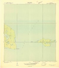
1940 · Manitou Island
USGS Topo · 1:31,680

1940 · Fort Wilkins
USGS Topo · 1:31,680

1948 · Fort Wilkins
USGS Topo · 1:24,000
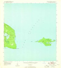
1948 · Manitou Island
USGS Topo · 1:24,000
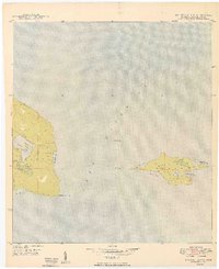
1949 · Manitou Island
USGS Topo · 1:24,000
1949 · Fort Wilkins
USGS Topo · 1:24,000

1958 · Hancock
USGS Topo · 1:250,000

1960 · Hancock
USGS Topo · 1:250,000

1961 · Hancock
USGS Topo · 1:250,000

1966 · Hancock
USGS Topo · 1:250,000