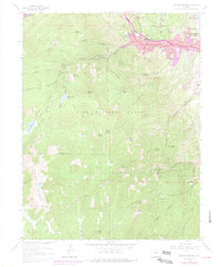
1961 Map of Manitou Springs
USGS Topo · Published 1977About this map
Manitou Springs and the eastern slopes of the Front Range appear here at a moment of transition, showing urban expansion in the 1960s and 70s alongside the established recreational geography of the Pike National Forest. The complex ascent to the high peaks is defined by the Manitou and Pikes Peak (Cog RR) climbing through Englemann Canyon, passing early-century stop-offs like Minnehaha and Ruxton Park. Above the city, the legendary red rock formations of Garden of the Gods overlook the valley.
Find a feature on this map
84 named features on this map. Tap any name to fly to it.
Don’t see what you’re looking for? This feature index may not catch every label — zoom into the map to look around manually.
Map Details
Editions of this 1961 Manitou Springs Map
11 editions found
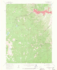
1963 edition
22.2 x 26.9 inches
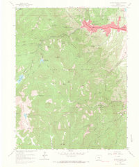
1966 edition
22.3 x 26.9 inches
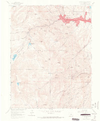
1966 edition
22.2 x 26.9 inches
1970 edition
22.3 x 26.9 inches
1970 edition
22.3 x 26.9 inches
1974 edition
22.3 x 26.9 inches
1977 edition
22.2 x 26.9 inches
1977 edition
22.2 x 26.9 inches
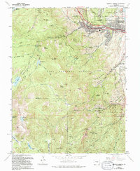
1994 edition
22 x 26.8 inches
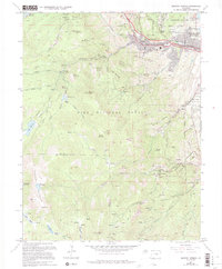
1994 edition
22.3 x 26.9 inches
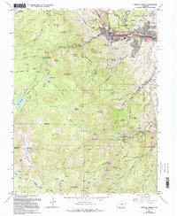
1994 edition
22 x 26.8 inches
Other maps of this area

1893 · Colorado Springs
USGS Topo · 1:125,000

1894 · Pikes Peak
USGS Topo · 1:125,000

1901 · Pikes Peak
USGS Topo · 1:125,000

1901 · Pikes Peak
USGS Topo · 1:62,500

1909 · Colorado Springs
USGS Topo · 1:125,000

1942 · Colorado Springs
USGS Topo · 1:125,000

1948 · Mount Big Chief
USGS Topo · 1:24,000

1948 · Manitou Springs
USGS Topo · 1:24,000

1948 · Colorado Springs
USGS Topo · 1:62,500

1948 · Pikeview
USGS Topo · 1:24,000