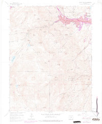
1961 Map of Manitou Springs
USGS Topo · Published 1977About this map
Manitou Springs and the western edge of Colorado Springs serve as the gateways to the high alpine terrain of the Pike National Forest in this 1961 survey. The landscape is defined by its early 20th-century tourism and transportation infrastructure, most notably the Manitou and Pikes Peak Cog RR and the Incline Railway ascending the steep slopes of Mount Manitou. These rail lines, along with the Barr Trail, provide access to the wilderness beyond Englemann Canyon.
Find a feature on this map
89 named features on this map. Tap any name to fly to it.
Don’t see what you’re looking for? This feature index may not catch every label — zoom into the map to look around manually.
Map Details
Editions of this 1961 Manitou Springs Map
11 editions found
1963 edition
22.2 x 26.9 inches
1966 edition
22.3 x 26.9 inches
1966 edition
22.2 x 26.9 inches
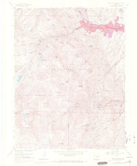
1970 edition
22.3 x 26.9 inches
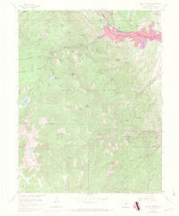
1970 edition
22.3 x 26.9 inches
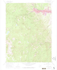
1974 edition
22.3 x 26.9 inches
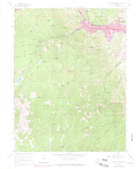
1977 edition
22.2 x 26.9 inches
1977 edition
22.2 x 26.9 inches
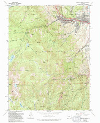
1994 edition
22 x 26.8 inches
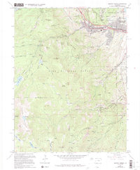
1994 edition
22.3 x 26.9 inches
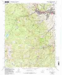
1994 edition
22 x 26.8 inches
Other maps of this area

1893 · Colorado Springs
USGS Topo · 1:125,000

1894 · Pikes Peak
USGS Topo · 1:125,000

1901 · Pikes Peak
USGS Topo · 1:125,000

1901 · Pikes Peak
USGS Topo · 1:62,500

1909 · Colorado Springs
USGS Topo · 1:125,000

1942 · Colorado Springs
USGS Topo · 1:125,000

1948 · Mount Big Chief
USGS Topo · 1:24,000

1948 · Manitou Springs
USGS Topo · 1:24,000

1948 · Colorado Springs
USGS Topo · 1:62,500

1948 · Pikeview
USGS Topo · 1:24,000