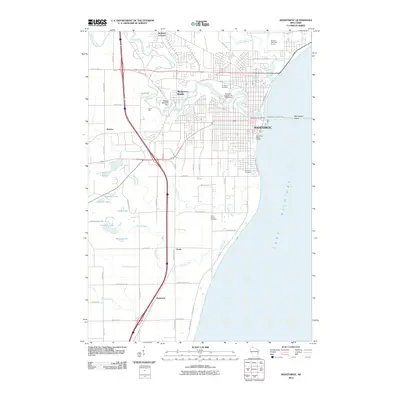
2010 Map of Manitowoc
USGS Topo · Published 2010About this map
Manitowoc and its surrounding countryside are captured here at the start of the 2010s, showing the city's complex relationship with the Lake Michigan coastline. The urban grid is interrupted by the winding Manitowoc River, where the Rapids 1854C275 Dam sits near the old settlement of Manitowoc Rapids. To the north and west, the landscape transitions into agricultural plots and smaller communities like Kellners Corners and Alverno. This era reveals the expansion of industrial and utility infrastructure, such as the Manitowoc Public Utilities and the Wisconsin Public Service Corporation plant near the harbor. South of the city, the topography is dotted with small lakes and creeks, including Kasbaum Lake and Calvin Creek, which drain toward the lake near Saint Peters Cemetery. The map provides a detailed view of the regional road network, from major arteries like County Hwy-JJ to local connectors like Silver Creek Rd.
Find a feature on this map
64 named features on this map. Tap any name to fly to it.
Don’t see what you’re looking for? This feature index may not catch every label — zoom into the map to look around manually.
Map Details
Editions of this 2010 Manitowoc Map
This is the sole edition of this map. No revisions or reprints were ever made.
Other maps of this area

1954 · Manitowoc
USGS Topo · 1:62,500

1954 · Cleveland
USGS Topo · 1:24,000

1954 · St. Wendel
USGS Topo · 1:24,000

1954 · Sheboygan North
USGS Topo · 1:62,500

1954 · Howards Grove
USGS Topo · 1:62,500

1954 · Reedsville
USGS Topo · 1:62,500

1954 · Manitowoc
USGS Topo · 1:24,000

1954 · Milwaukee
USGS Topo · 1:250,000

1954 · Manitowoc
USGS Topo · 1:250,000

1958 · Manitowoc
USGS Topo · 1:250,000