Loading...
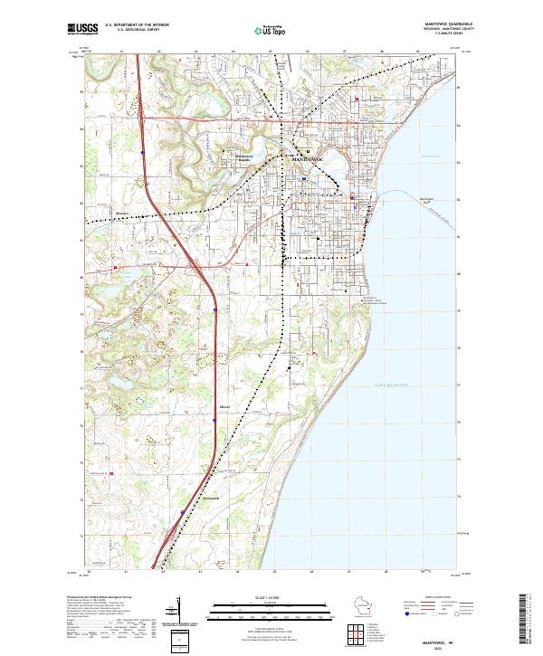
Loading map...2022 Map of Manitowoc
USGS Topo · Published 2022About this map
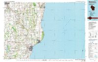
Manitowoc sits at the confluence of the Manitowoc River and Lake Michigan, serving as a focal point for maritime activity along Maritime Bay. The city's grid iron layout is anchored by the Manitowoc County Courthouse and extends toward recreational spaces like Lincoln Park. Surrounding the urban center, the landscape transitions into smaller settlements and farming communities such as Manitowoc Rapids, Alverno, and Duveneck.
Find a feature on this map
206 named features on this map. Tap any name to fly to it.
Don’t see what you’re looking for? This feature index may not catch every label — zoom into the map to look around manually.
Map Details
Date Portrayed2022
Date Published2022
PublisherU.S. Geological Survey
Map TypeTopographic
Scale1:24000
Physical Dimensions24 x 29 inches
Editions of this 2022 Manitowoc Map
This is the sole edition of this map. No revisions or reprints were ever made.
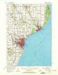
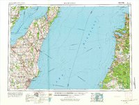
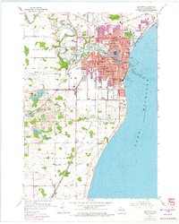
Historical Maps of Alverno Through Time
6 maps found

Featured Locations
Source Details
SourceU.S. Geological Survey
CopyrightPublic Domain