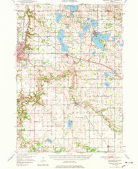
1950 Map of Mankato East
USGS Topo · Published 1978About this map
The Le Sueur River and its tributaries carve a complex drainage pattern across this 1950 landscape, connecting several significant settlements and agricultural hubs east of Mankato. The area is a dense network of early mid-century infrastructure, featuring three major rail lines including the Chicago and North Western and the Chicago Milwaukee St Paul and Pacific. These tracks served outlying communities like St Clair, Eagle Lake, and Pemberton, supporting a local economy tied to the land and the river.
Find a feature on this map
92 named features on this map. Tap any name to fly to it.
Don’t see what you’re looking for? This feature index may not catch every label — zoom into the map to look around manually.
Map Details
Editions of this 1950 Mankato East Map
3 editions found
Other maps of this area

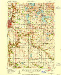
1950 · Mankato East
USGS Topo · 1:62,500

1951 · Mankato East
USGS Topo · 1:62,500

1951 · Mankato West
USGS Topo · 1:62,500

1953 · Saint Paul
USGS Topo · 1:250,000

1953 · New Ulm
USGS Topo · 1:250,000

1954 · Fairmont
USGS Topo · 1:250,000

1954 · Mason City
USGS Topo · 1:250,000

1957 · New Ulm
USGS Topo · 1:250,000

1957 · Mason City
USGS Topo · 1:250,000

1958 · New Ulm
USGS Topo · 1:250,000