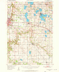
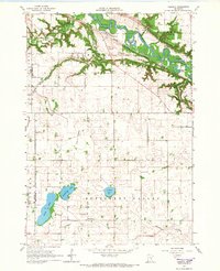
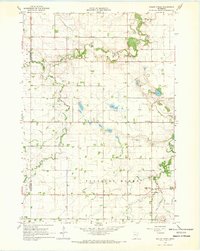
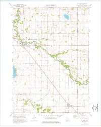
1950 Map of Mankato East
USGS Topo · Published 1950This historical map portrays the area of Mankato East in 1950, primarily covering Blue Earth County as well as portions of Le Sueur County and Waseca County. Featuring a scale of 1:62500, this map provides a highly detailed snapshot of the terrain, roads, buildings, counties, and historical landmarks in the Mankato East region at the time. Published in 1950, it is one of 3 known editions of this map due to revisions or reprints.
Find a feature on this map
84 named features on this map. Tap any name to fly to it.
Don’t see what you’re looking for? This feature index may not catch every label — zoom into the map to look around manually.
Map Details
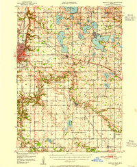
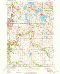
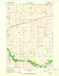
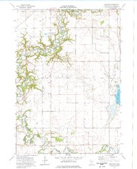
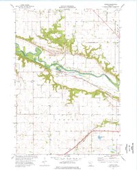
Editions of this 1950 Mankato East Map
3 editions found
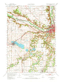
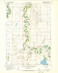
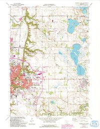
Historical Maps of Eagle Lake Through Time
12 maps found
1950 Mankato East
Blue Earth County, MN

1951 Mankato East
Blue Earth County, MN
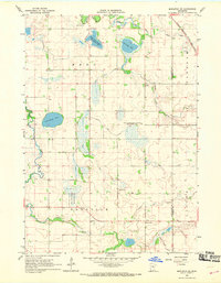
1951 Mankato West
Blue Earth County, MN
1965 Cambria
Blue Earth County, MN
1965 Perth
Blue Earth County, MN
1967 Mapleton NE
Blue Earth County, MN
1967 Sterling Center
Blue Earth County, MN
1967 Willow Creek
Blue Earth County, MN
1974 Beauford
Blue Earth County, MN
1974 Judson
Blue Earth County, MN
1974 Mankato East
Blue Earth County, MN
1974 St Clair
Blue Earth County, MN