
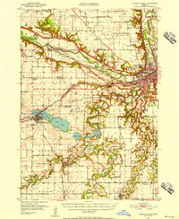
1951 Map of Mankato West
USGS Topo · Published 1952About this map
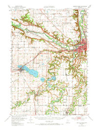
The Minnesota River and Blue Earth River converge in this mid-century survey, defining the development of Mankato and North Mankato. The landscape is a complex network of river bends and bluffs, where the Chicago and North Western railroad follows the valley floor. Notable landmarks include the Old Grist Mill and the striking Minneopa Falls, while the social fabric of the rural townships is recorded through numerous district schools and historic congregations like Jerusalem Ch and Carmel Ch.
Find a feature on this map
75 named features on this map. Tap any name to fly to it.
Don’t see what you’re looking for? This feature index may not catch every label — zoom into the map to look around manually.
Map Details
Editions of this 1951 Mankato West Map
3 editions found
Other maps of this area

1950 · Mankato East
USGS Topo · 1:62,500

1951 · Mankato East
USGS Topo · 1:62,500

1953 · Saint Paul
USGS Topo · 1:250,000

1953 · New Ulm
USGS Topo · 1:250,000

1954 · Fairmont
USGS Topo · 1:250,000

1954 · Mason City
USGS Topo · 1:250,000

1957 · New Ulm
USGS Topo · 1:250,000

1957 · Mason City
USGS Topo · 1:250,000

1958 · New Ulm
USGS Topo · 1:250,000

1958 · Mason City
USGS Topo · 1:250,000