
1921 Map of Manning
USGS Topo · Published 1921About this map
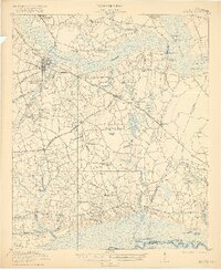
The Manning landscape in the early 1920s is defined by its intricate network of blackwater wetlands and rail-driven commerce. The Pocotaligo Swamp and the Black River dominate the northern and eastern reaches, while the southern boundary follows the course of the Santee River, dotted with family-named features like Franks Lake and Cahusac Lake. This era shows three major rail lines converging on the area, including the Atlantic Coast Line Railroad and the Northwestern Railroad of South Carolina, which facilitated the transport of timber and agricultural goods from settlements like Alcolu and Bloomville.
Find a feature on this map
68 named features on this map. Tap any name to fly to it.
Don’t see what you’re looking for? This feature index may not catch every label — zoom into the map to look around manually.
Map Details
Editions of this 1921 Manning Map
3 editions found
Other maps of this area

1920 · Eutawville
USGS Topo · 1:48,000

1920 · Chicora
USGS Topo · 1:48,000

1920 · Mayesville
USGS Topo · 1:48,000

1920 · Manning
USGS Topo · 1:48,000

1921 · Chicora
USGS Topo · 1:62,500

1921 · Mayesville
USGS Topo · 1:62,500

1921 · Eutawville
USGS Topo · 1:62,500

1943 · Chicora
USGS Topo · 1:62,500

1943 · Mayesville
USGS Topo · 1:62,500

1943 · Eutawville
USGS Topo · 1:62,500