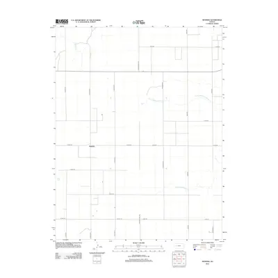
2012 Map of Manning
USGS Topo · Published 2012About this map
Manning stands as a focal point in this portion of Scott County, positioned at the intersection of a vast grid of section roads. The landscape is defined by the ephemeral drainage patterns of the High Plains, where the W Salt Cr and the Middle Fork Walnut Cr network, including the N Fork Middle Fork Walnut Cr, cut through the terrain. The map illustrates a highly organized agricultural layout, with primary thoroughfares like N Wichita Scott Rd and Bison Rd providing the framework for rural transit. This 2012 survey captures the persistent rural character of the region, where wide-scale farming operations are supported by a meticulous road system ranging from E Road 200 to E Road 170, reflecting the enduring structure of Kansas land management.
Find a feature on this map
20 named features on this map. Tap any name to fly to it.
Don’t see what you’re looking for? This feature index may not catch every label — zoom into the map to look around manually.
Map Details
Editions of this 2012 Manning Map
This is the sole edition of this map. No revisions or reprints were ever made.
Other maps of this area

1939 · Sandon
USGS Topo · 1:62,500

1940 · Scott City
USGS Topo · 1:62,500

1942 · Sandon
USGS Topo · 1:62,500

1951 · Scott City
USGS Topo · 1:62,500

1955 · Scott City
USGS Topo · 1:250,000

1958 · Scott City
USGS Topo · 1:250,000

1974 · Cheyenne Creek
USGS Topo · 1:24,000

1974 · Healy NW
USGS Topo · 1:24,000

1974 · Grigston
USGS Topo · 1:24,000

1974 · Amy
USGS Topo · 1:24,000