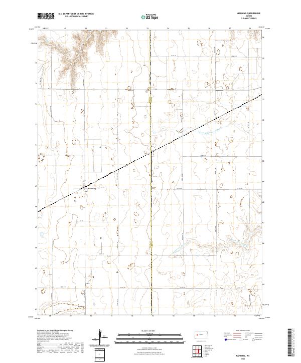
2022 Map of Manning
USGS Topo · Published 2022About this map
Manning stands as a primary point of reference in this landscape of the High Plains, situated along the border of Scott County and Lane County. This area of western Kansas is characterized by an expansive, grid-like road network, including routes such as N Venison Rd and Bison II Rd, which define the agricultural sections of the region. The natural drainage of the land is shaped by the subtle pathways of the Middle Fork Walnut Cr and its tributary, the N Fork Middle Fork Walnut Cr. Farther to the northwest, the headwaters of W Salt Cr emerge, cutting through the terrain. The map meticulously records the Public Land Survey System divisions, noting townships like t17s r31w and t17s r30w, which reflect the historic distribution of land in this part of the state.
Find a feature on this map
27 named features on this map. Tap any name to fly to it.
Don’t see what you’re looking for? This feature index may not catch every label — zoom into the map to look around manually.
Map Details
Editions of this 2022 Manning Map
This is the sole edition of this map. No revisions or reprints were ever made.
Other maps of this area

1939 · Sandon
USGS Topo · 1:62,500

1940 · Scott City
USGS Topo · 1:62,500

1942 · Sandon
USGS Topo · 1:62,500

1951 · Scott City
USGS Topo · 1:62,500

1955 · Scott City
USGS Topo · 1:250,000

1958 · Scott City
USGS Topo · 1:250,000

1974 · Cheyenne Creek
USGS Topo · 1:24,000

1974 · Healy NW
USGS Topo · 1:24,000

1974 · Grigston
USGS Topo · 1:24,000

1974 · Amy
USGS Topo · 1:24,000