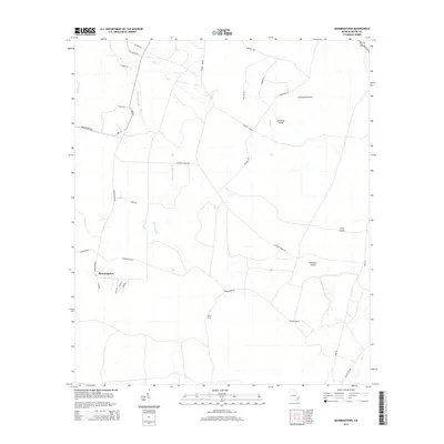
2014 Map of Manningtown
USGS Topo · Published 2014About this map
Manningtown serves as the primary settlement in this corner of Wayne County, Georgia, where a web of rural roads and watercourses defines the local geography. The landscape is characterized by a series of geographic islands including Strickland Island, Downing Island, and Long Island, which rise amidst a network of branches and creeks. These waterways, such as Honey Camp Br and Oak Pond Br, have historically dictated the placement of crossings and routes like the Rosin Ford. This 2014 survey documents the persistence of family-named roads and rural infrastructure, from Browntown Rd to the various "breaks" like Flowers Break Rd and Murphy Break. The street-level detail in the town center, including Alvin St and Orman St, offers a clear record of modern property access and residential layout in this coastal plain community.
Find a feature on this map
33 named features on this map. Tap any name to fly to it.
Don’t see what you’re looking for? This feature index may not catch every label — zoom into the map to look around manually.
Map Details
Editions of this 2014 Manningtown Map
This is the sole edition of this map. No revisions or reprints were ever made.
Other maps of this area

1918 · Jesup
USGS Topo · 1:62,500

1918 · Hortense
USGS Topo · 1:62,500

1918 · Everett City
USGS Topo · 1:62,500

1920 · Everett City
USGS Topo · 1:62,500

1943 · Ludowici
USGS Topo · 1:62,500

1943 · Jesup
USGS Topo · 1:62,500

1944 · Everett City
USGS Topo · 1:62,500

1944 · Hortense
USGS Topo · 1:62,500

1946 · Brunswick
USGS Topo · 1:250,000

1948 · Brunswick
USGS Topo · 1:250,000