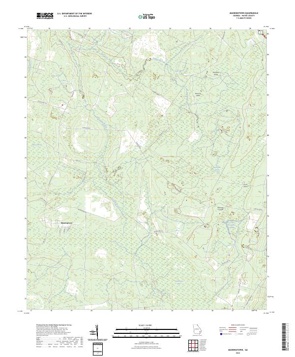
2024 Map of Manningtown
USGS Topo · Published 2024About this map
The settlement of Manningtown serves as a focal point in this portion of Wayne County, where residential streets like Alvin St and Slaton St transition into a landscape dominated by expansive wetland systems. The geography is defined by a series of "bays" and "breaks," including the massive Little Okefenokee Swamp and Penholoway Bay to the southeast. These low-lying areas are punctuated by slightly higher ground identified as islands, such as Strickland Island, Palmetto Island, and Long Island, which likely offered refuge or agricultural potential within the surrounding swampy terrain.
Find a feature on this map
37 named features on this map. Tap any name to fly to it.
Don’t see what you’re looking for? This feature index may not catch every label — zoom into the map to look around manually.
Map Details
Editions of this 2024 Manningtown Map
This is the sole edition of this map. No revisions or reprints were ever made.
Other maps of this area

1918 · Jesup
USGS Topo · 1:62,500

1918 · Hortense
USGS Topo · 1:62,500

1918 · Everett City
USGS Topo · 1:62,500

1920 · Everett City
USGS Topo · 1:62,500

1943 · Ludowici
USGS Topo · 1:62,500

1943 · Jesup
USGS Topo · 1:62,500

1944 · Everett City
USGS Topo · 1:62,500

1944 · Hortense
USGS Topo · 1:62,500

1946 · Brunswick
USGS Topo · 1:250,000

1948 · Brunswick
USGS Topo · 1:250,000