1953 Map of Manns Harbor
USGS Topo · Published 1977About this map
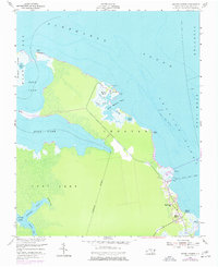
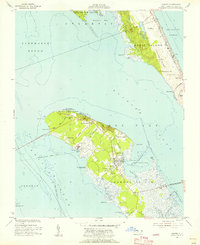
Manns Harbor sits at the edge of the Croatan Sound in this mid-century survey of the Dare County coastline, where the land fragmentizes into a network of marshes and tidal guts. The community is anchored by Mt Carmel Ch near the waterfront, reflecting a period before modern bridges dominated the sound. North of the main settlement, Mashoes Marsh and the small congregation at Mt Mitchell Ch illustrate the isolated nature of these Outer Banks fringes.
Find a feature on this map
29 named features on this map. Tap any name to fly to it.
Don’t see what you’re looking for? This feature index may not catch every label — zoom into the map to look around manually.
Map Details
Editions of this 1953 Manns Harbor Map
2 editions found
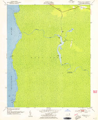
Other maps of this area
1940 · Kitty Hawk
USGS Topo · 1:62,500

1940 · Powells Point
USGS Topo · 1:62,500

1943 · Roanoke Island
USGS Topo · 1:125,000

1946 · Eastville
USGS Topo · 1:250,000

1946 · Currituck Sound
USGS Topo · 1:250,000
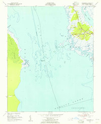
1953 · Wanchese
USGS Topo · 1:24,000
1953 · Buffalo City
USGS Topo · 1:24,000
1953 · Manteo
USGS Topo · 1:24,000
1953 · East Lake SE
USGS Topo · 1:24,000
1953 · Manns Harbor
USGS Topo · 1:24,000