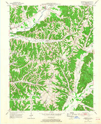
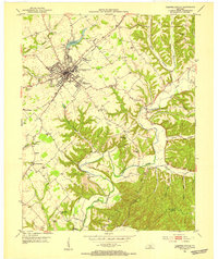
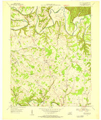
1952 Map of Mannsville
USGS Topo · Published 1968About this map
Mannsville and the surrounding ridgetops of Taylor County appear here as they were surveyed in the early 1950s. The landscape is defined by its dramatic relief, where narrow valleys like that of Robinson Creek separate high, named ridgetops including Gaddis Ridge and White Ridge. This era of Central Kentucky history is marked by a high density of rural institutions, with local life centered on small country schoolhouses such as Farmers Sch and White Ridge Sch.
Find a feature on this map
56 named features on this map. Tap any name to fly to it.
Don’t see what you’re looking for? This feature index may not catch every label — zoom into the map to look around manually.
Map Details
Editions of this 1952 Mannsville Map
2 editions found
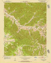
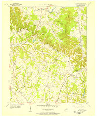
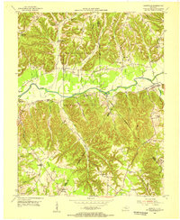
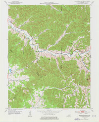
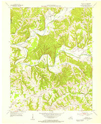
Other maps of this area
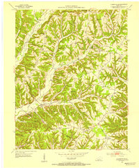
1952 · Clementsville
USGS Topo · 1:24,000
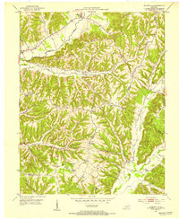
1952 · Mannsville
USGS Topo · 1:24,000
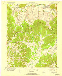
1952 · Bradfordsville
USGS Topo · 1:24,000
1953 · Campbellsville
USGS Topo · 1:24,000
1953 · Bradfordsville NE
USGS Topo · 1:24,000
1953 · Spurlington
USGS Topo · 1:24,000
1953 · Dunnville
USGS Topo · 1:24,000
1953 · Cane Valley
USGS Topo · 1:24,000
1953 · Bradfordsville
USGS Topo · 1:24,000
1954 · Knifley
USGS Topo · 1:24,000