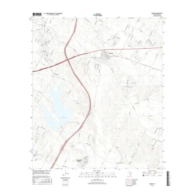
2016 Map of Manor
USGS Topo · Published 2016About this map
The city of Manor and the community of Hornsby Bend anchor this 2016 survey of eastern Travis County. The landscape is defined by the expansive Walter E. Long Lake and a complex drainage network including Gilleland Cr, Wilbarger Cr, and Decker Cr. The area’s genealogical record is remarkably dense, featuring numerous family and community burial sites such as Jones Cemeteries, Hornsby Cem, Rosehill Cem, and Glasscock Cem. Transportation corridors like the 290 highway and E Parmer Ln underscore the region's modern suburban expansion, while landmarks like Bud Dryden Airport and the Decker Free Church Cem provide points of historical and local significance. The map also traces various smaller watercourses like Harris Br, Elm Cr, and Dry Cr, which carve through the terrain surrounding these growing Texas settlements.
Find a feature on this map
113 named features on this map. Tap any name to fly to it.
Don’t see what you’re looking for? This feature index may not catch every label — zoom into the map to look around manually.
Map Details
Editions of this 2016 Manor Map
This is the sole edition of this map. No revisions or reprints were ever made.
Other maps of this area

1885 · Bastrop
USGS Topo · 1:125,000

1893 · Bastrop
USGS Topo · 1:125,000

1896 · Austin
USGS Topo · 1:125,000

1897 · Austin
USGS Topo · 1:125,000

1904 · Bastrop
USGS Topo · 1:125,000

1910 · Austin
USGS Topo · 1:125,000

1948 · Elgin
USGS Topo · 1:62,500

1948 · Bastrop
USGS Topo · 1:62,500

1950 · Bastrop
USGS Topo · 1:62,500

1950 · Elgin
USGS Topo · 1:62,500