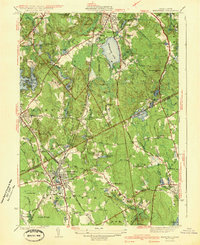
1941 Map of Mansfield
USGS Topo · Published 1941About this map
Mansfield serves as a major rail hub in the early 1940s, situated at the junction of the New York New Haven and Hartford railroad lines. The landscape is defined by its industrial and agricultural water management, evidenced by numerous mill ponds such as Hammer Shop Pond, Glue Factory Pond, and Fulton Pond. To the north, the recreational and residential character of Sharon and Sharon Heights centers around the expansive Massapoag Lake.
Find a feature on this map
121 named features on this map. Tap any name to fly to it.
Don’t see what you’re looking for? This feature index may not catch every label — zoom into the map to look around manually.
Map Details
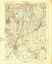
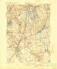
Editions of this 1941 Mansfield Map
3 editions found
Other maps of this area

1885 · Taunton
USGS Topo · 1:62,500

1886 · Dedham
USGS Topo · 1:62,500

1887 · Franklin
USGS Topo · 1:62,500

1887 · Providence
USGS Topo · 1:62,500

1888 · Taunton
USGS Topo · 1:62,500

1889 · Providence
USGS Topo · 1:62,500

1889 · Franklin
USGS Topo · 1:62,500

1893 · Taunton
USGS Topo · 1:62,500

1893 · Franklin
USGS Topo · 1:62,500

1894 · Dedham
USGS Topo · 1:62,500