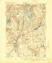
1941 Map of Mansfield
USGS Topo · Published 1947About this map
Massapoag Lake and the Canoe River basin define this Norfolk County landscape, captured here as the industrial and transit networks of the mid-1940s remained firmly in place. The area is a complex web of small manufacturing ponds and rail lines, including the New York New Haven and Hartford and the Boston and Providence railroads. These lines converge at Mansfield, highlighting its role as a regional junction.
Find a feature on this map
75 named features on this map. Tap any name to fly to it.
Don’t see what you’re looking for? This feature index may not catch every label — zoom into the map to look around manually.
Map Details
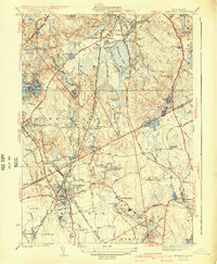
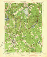
Editions of this 1941 Mansfield Map
3 editions found
Other maps of this area

1885 · Taunton
USGS Topo · 1:62,500

1886 · Dedham
USGS Topo · 1:62,500

1887 · Franklin
USGS Topo · 1:62,500

1887 · Providence
USGS Topo · 1:62,500

1888 · Taunton
USGS Topo · 1:62,500

1889 · Providence
USGS Topo · 1:62,500

1889 · Franklin
USGS Topo · 1:62,500

1893 · Taunton
USGS Topo · 1:62,500

1893 · Franklin
USGS Topo · 1:62,500

1894 · Dedham
USGS Topo · 1:62,500