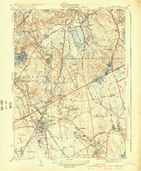
1941 Map of Mansfield
USGS Topo · Published 1941About this map
Massapoag Lake and the Rumford River corridor dominate this landscape on the border of Norfolk and Bristol counties. The area reflects a transition from late-industrial water-power hubs to early suburban development, centered around the New York New Haven and Hartford railroad line. Industrial remnants are still visible at the Glue Factory Pond and Hammer Shop Pond, while the presence of Sacred Heart College and several local schools like the Hartwell Sch and Hall Sch indicates a growing community. Small crossroad settlements such as Ginty Corner and Purdy Corner highlight the older rural framework that persisted alongside the busier centers of Mansfield and Sharon. The topography, ranging from the low Great Woods to heights like Rattlesnake Hill, shaped the placement of local reservoirs like Neponset Reservoir.
Find a feature on this map
57 named features on this map. Tap any name to fly to it.
Don’t see what you’re looking for? This feature index may not catch every label — zoom into the map to look around manually.
Map Details
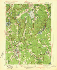
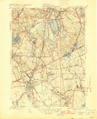
Editions of this 1941 Mansfield Map
3 editions found
Other maps of this area

1885 · Taunton
USGS Topo · 1:62,500

1886 · Dedham
USGS Topo · 1:62,500

1887 · Franklin
USGS Topo · 1:62,500

1887 · Providence
USGS Topo · 1:62,500

1888 · Taunton
USGS Topo · 1:62,500

1889 · Providence
USGS Topo · 1:62,500

1889 · Franklin
USGS Topo · 1:62,500

1893 · Taunton
USGS Topo · 1:62,500

1893 · Franklin
USGS Topo · 1:62,500

1894 · Dedham
USGS Topo · 1:62,500