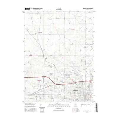
2016 Map of Mansfield North
USGS Topo · Published 2016About this map
Mansfield and Ontario anchor the southern half of this landscape, where the urban grid meets the agricultural reaches of north-central Ohio. Higher education and public services define the central geography, specifically the Ohio State University-Mansfield Campus and N Central State Coll, situated along the Rocky Fork. The industrial and aviation history of the region is centered at the Mansfield Lahm Regional Airport in the northeast, while numerous smaller communities like Taylortown, Amoy, and Spring Mill dot the rural townships.
Find a feature on this map
260 named features on this map. Tap any name to fly to it.
Don’t see what you’re looking for? This feature index may not catch every label — zoom into the map to look around manually.
Map Details
Editions of this 2016 Mansfield North Map
This is the sole edition of this map. No revisions or reprints were ever made.
Other maps of this area

1908 · Ashland
USGS Topo · 1:62,500

1912 · Perrysville
USGS Topo · 1:62,500

1915 · Crestline
USGS Topo · 1:62,500

1915 · Perrysville
USGS Topo · 1:62,500

1915 · Shauck
USGS Topo · 1:62,500

1943 · Shauck
USGS Topo · 1:62,500

1943 · Crestline
USGS Topo · 1:62,500

1944 · Perrysville
USGS Topo · 1:62,500

1950 · Marion
USGS Topo · 1:250,000
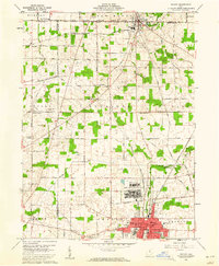
1960 · Shelby
USGS Topo · 1:24,000