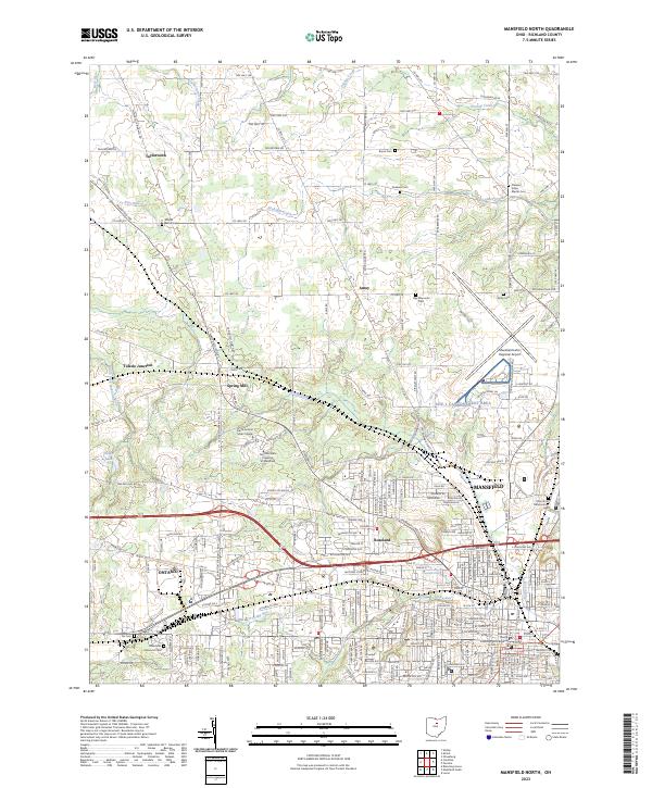
2023 Map of Mansfield North
USGS Topo · Published 2023About this map
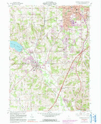
Mansfield and Ontario serve as the urban and industrial anchors in this modern survey of North-Central Ohio. The map captures the dense street grids of these growing cities as they transition into the surrounding agricultural landscape of Richland County. To the north, small historical settlements like Taylortown, Amoy, and Toledo Junction are connected by a network of township roads and county highways, including Mansfield Ave and Plymouth Springmill Rd.
Find a feature on this map
214 named features on this map. Tap any name to fly to it.
Don’t see what you’re looking for? This feature index may not catch every label — zoom into the map to look around manually.
Map Details
Editions of this 2023 Mansfield North Map
This is the sole edition of this map. No revisions or reprints were ever made.
Historical Maps of Carrousel District Through Time
10 maps found

1915 Shauck
Richland County, OH

1943 Shauck
Richland County, OH
1960 Mansfield North
Richland County, OH
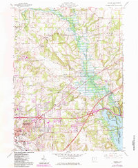
1960 Olivesburg
Richland County, OH
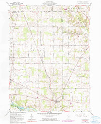
1960 Pavonia
Richland County, OH
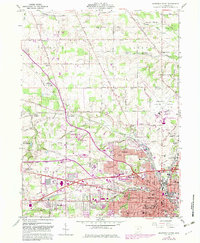
1961 Mansfield South
Richland County, OH
2023 Mansfield North
Richland County, OH

2023 Mansfield South
Richland County, OH
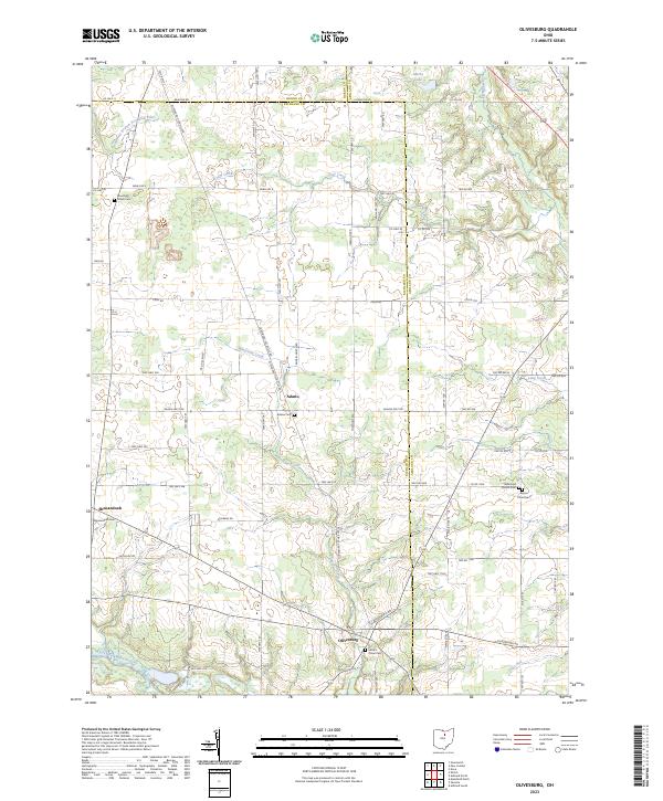
2023 Olivesburg
Richland County, OH
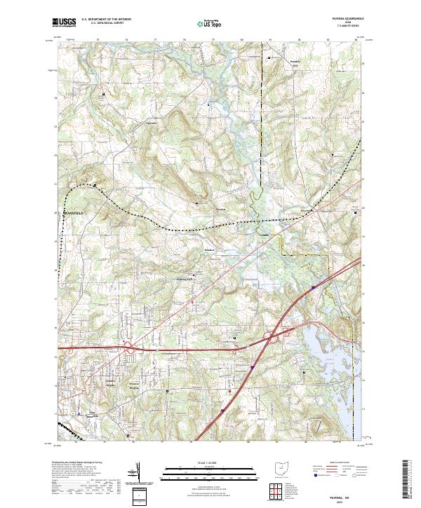
2023 Pavonia
Richland County, OH
Featured Locations
- Madison Township, OH
- Mansfield, OH
- Springfield Township, OH
- Jackson Township, OH
- Ontario, Springfield Township