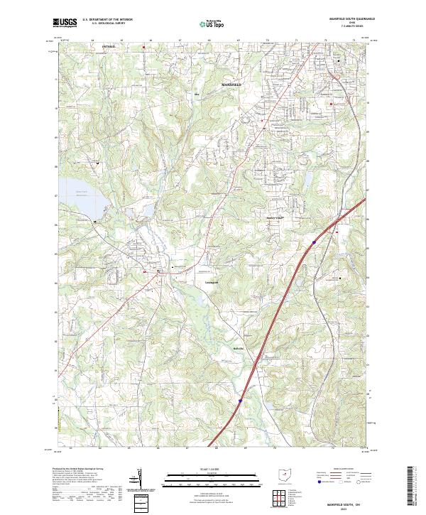
2023 Map of Mansfield South
USGS Topo · Published 2023About this map
The southern outskirts of Mansfield and the established communities of Lexington and Bellville define the landscape of this Richland County survey. The Clear Fork Mohican River meanders south through the center of the sheet, originating near the expansive Clear Fork Reservoir in the northwest. This corridor reveals a mix of residential expansion and preserved rural character, with smaller settlements like Alta and Hanley Village situated along the primary transit routes. Genealogists can identify several local burial grounds including Lexington Cem, Day Cem, and the German Evangelical Cem located further east. The eastern portion of the map is marked by the winding course of Possum Run and the secluded Lake Maria, highlighting the area's complex drainage patterns and recreational water features as they appeared in the early 2020s.
Find a feature on this map
191 named features on this map. Tap any name to fly to it.
Don’t see what you’re looking for? This feature index may not catch every label — zoom into the map to look around manually.
Map Details
Editions of this 2023 Mansfield South Map
This is the sole edition of this map. No revisions or reprints were ever made.
Other maps of this area

1908 · Ashland
USGS Topo · 1:62,500

1912 · Perrysville
USGS Topo · 1:62,500

1915 · Crestline
USGS Topo · 1:62,500

1915 · Perrysville
USGS Topo · 1:62,500

1915 · Shauck
USGS Topo · 1:62,500

1943 · Shauck
USGS Topo · 1:62,500

1943 · Crestline
USGS Topo · 1:62,500

1944 · Perrysville
USGS Topo · 1:62,500

1950 · Marion
USGS Topo · 1:250,000

1960 · Pavonia
USGS Topo · 1:24,000