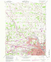
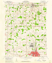
1960 Map of Mansfield North
USGS Topo · Published 1983About this map
The northern reaches of Mansfield and its surrounding townships show a mid-century landscape of industrial growth and academic expansion. The expansive grounds of the State Reformatory dominate the eastern edge, while the 1980s updates on this map reflect the development of the Ohio State University Mansfield Campus and the adjacent North Central Technical College. Settlement patterns follow the historic corridors of the Baltimore and Ohio and Conrail railroads, which converge at Toledo Junction.
Find a feature on this map
85 named features on this map. Tap any name to fly to it.
Don’t see what you’re looking for? This feature index may not catch every label — zoom into the map to look around manually.
Map Details
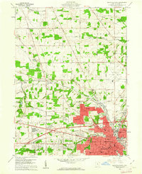
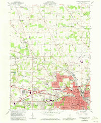
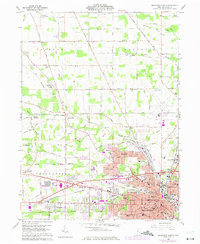
Editions of this 1960 Mansfield North Map
4 editions found
Other maps of this area

1908 · Ashland
USGS Topo · 1:62,500

1912 · Perrysville
USGS Topo · 1:62,500

1915 · Crestline
USGS Topo · 1:62,500

1915 · Perrysville
USGS Topo · 1:62,500

1915 · Shauck
USGS Topo · 1:62,500

1943 · Shauck
USGS Topo · 1:62,500

1943 · Crestline
USGS Topo · 1:62,500

1944 · Perrysville
USGS Topo · 1:62,500

1950 · Marion
USGS Topo · 1:250,000
1960 · Shelby
USGS Topo · 1:24,000