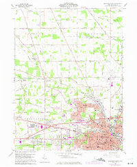
1960 Map of Mansfield North
USGS Topo · Published 1975About this map
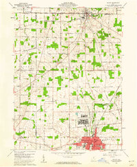
The industrial and institutional landscape north of Mansfield is defined by a dense intersection of major rail lines and expanding postwar infrastructure. The extensive grounds of the State Reformatory anchor the eastern edge of the map, while the Penn Central and Erie-Lackawanna railroads converge at Toledo Junction, illustrating the area's role as a critical regional transit hub. Settlement patterns reveal the growth of neighborhoods like Roseland and Ontario alongside established agricultural hamlets such as Pavonia and Amoy. Cultural and educational landmarks are well represented, from the Sacred Heart Seminary and Richland Ch to local schools like Simpson Jr High Sch. The landscape is further shaped by the winding courses of the Black Fork Mohican River and Rocky Fork, which contrast with the modern development of the Lahn Municipal Airport.
Find a feature on this map
86 named features on this map. Tap any name to fly to it.
Don’t see what you’re looking for? This feature index may not catch every label — zoom into the map to look around manually.
Map Details
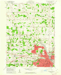
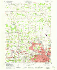
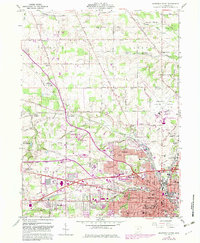
Editions of this 1960 Mansfield North Map
4 editions found
Other maps of this area

1908 · Ashland
USGS Topo · 1:62,500

1912 · Perrysville
USGS Topo · 1:62,500

1915 · Crestline
USGS Topo · 1:62,500

1915 · Perrysville
USGS Topo · 1:62,500

1915 · Shauck
USGS Topo · 1:62,500

1943 · Shauck
USGS Topo · 1:62,500

1943 · Crestline
USGS Topo · 1:62,500

1944 · Perrysville
USGS Topo · 1:62,500

1950 · Marion
USGS Topo · 1:250,000
1960 · Shelby
USGS Topo · 1:24,000