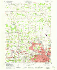
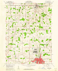
1960 Map of Mansfield North
USGS Topo · Published 1973About this map
The sprawling industrial and institutional footprint of northern Mansfield dominates the southern portion of this landscape, most notably marked by the massive State Reformatory complex. This mid-century view captures a city in transition, where established neighborhoods like Roseland and growing suburbs like Ontario press against a legacy of heavy rail infrastructure. Three major rail lines—the Penn Central, Baltimore and Ohio, and Erie-Lackawanna—converge here, reflecting the importance of this corridor to Ohio's manufacturing economy.
Find a feature on this map
66 named features on this map. Tap any name to fly to it.
Don’t see what you’re looking for? This feature index may not catch every label — zoom into the map to look around manually.
Map Details
Editions of this 1960 Mansfield North Map
4 editions found
Other maps of this area

1908 · Ashland
USGS Topo · 1:62,500

1912 · Perrysville
USGS Topo · 1:62,500

1915 · Crestline
USGS Topo · 1:62,500

1915 · Perrysville
USGS Topo · 1:62,500

1915 · Shauck
USGS Topo · 1:62,500

1943 · Shauck
USGS Topo · 1:62,500

1943 · Crestline
USGS Topo · 1:62,500

1944 · Perrysville
USGS Topo · 1:62,500

1950 · Marion
USGS Topo · 1:250,000
1960 · Shelby
USGS Topo · 1:24,000