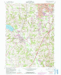
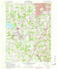
1961 Map of Mansfield South
USGS Topo · Published 1990About this map
The Baltimore and Ohio railroad corridor anchors the landscape of southern Richland County, tracing a route through Lexington and the smaller community of Alta. This 1961 field-checked map illustrates the mid-century expansion of Mansfield south into Madison township, including established neighborhoods served by the Johnny Appleseed Jr High Sch and Woodville Sch. To the west, the Clear Fork Reservoir provides a significant hydrologic feature, while the Clear Fork Mohican River meanders through the southern townships of Troy and Washington. Local community life is visible in the distribution of rural landmarks like the Hilltop Ch and United Brethren Ch, alongside several family-named roads such as Kochheiser Road and Baughman Road that reflect the area's agricultural roots.
Find a feature on this map
46 named features on this map. Tap any name to fly to it.
Don’t see what you’re looking for? This feature index may not catch every label — zoom into the map to look around manually.
Map Details
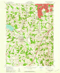
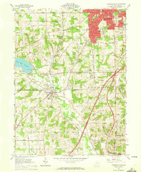
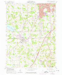
Editions of this 1961 Mansfield South Map
5 editions found
Other maps of this area

1908 · Ashland
USGS Topo · 1:62,500

1912 · Perrysville
USGS Topo · 1:62,500

1915 · Crestline
USGS Topo · 1:62,500

1915 · Perrysville
USGS Topo · 1:62,500

1915 · Shauck
USGS Topo · 1:62,500

1943 · Shauck
USGS Topo · 1:62,500

1943 · Crestline
USGS Topo · 1:62,500

1944 · Perrysville
USGS Topo · 1:62,500

1950 · Marion
USGS Topo · 1:250,000

1960 · Pavonia
USGS Topo · 1:24,000