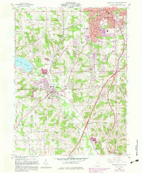
1961 Map of Mansfield South
USGS Topo · Published 1983About this map
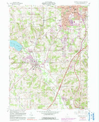
The Baltimore and Ohio railroad corridor anchors this survey of southern Richland County, connecting the industrial outskirts of Mansfield to the smaller settlements of Lexington and Bellville. The landscape is a mix of suburban expansion and working countryside, where the waters of the Clear Fork Reservoir provide a primary geographic landmark to the west. This 1961 edition, updated with 1982 photorevisions, captures a period of growth as residential developments begin to fill the gaps between historic crossroads like Alta and Kings Corners. Local education and community life are well-documented through landmarks such as the Johnny Appleseed Jr High Sch, Woodland Sch, and the United Brethren Ch. Significant green spaces including Gorman Nature Park and Bicentennial Park show the area's transition toward planned recreation alongside the older river valleys of the Mohican River.
Find a feature on this map
50 named features on this map. Tap any name to fly to it.
Don’t see what you’re looking for? This feature index may not catch every label — zoom into the map to look around manually.
Map Details
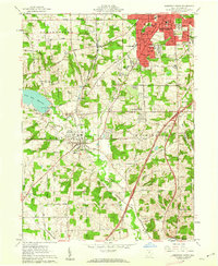
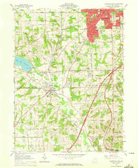
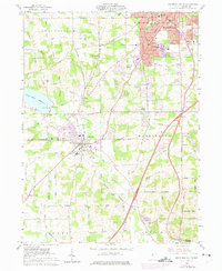
Editions of this 1961 Mansfield South Map
5 editions found
Other maps of this area

1908 · Ashland
USGS Topo · 1:62,500

1912 · Perrysville
USGS Topo · 1:62,500

1915 · Crestline
USGS Topo · 1:62,500

1915 · Perrysville
USGS Topo · 1:62,500

1915 · Shauck
USGS Topo · 1:62,500

1943 · Shauck
USGS Topo · 1:62,500

1943 · Crestline
USGS Topo · 1:62,500

1944 · Perrysville
USGS Topo · 1:62,500

1950 · Marion
USGS Topo · 1:250,000

1960 · Pavonia
USGS Topo · 1:24,000