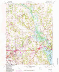
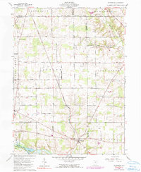
1960 Map of Pavonia
USGS Topo · Published 1984About this map
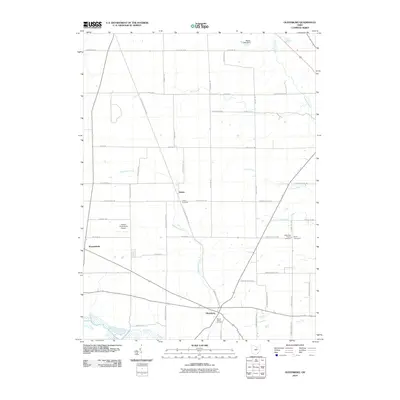
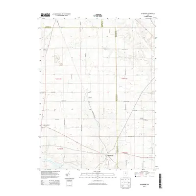
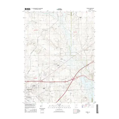
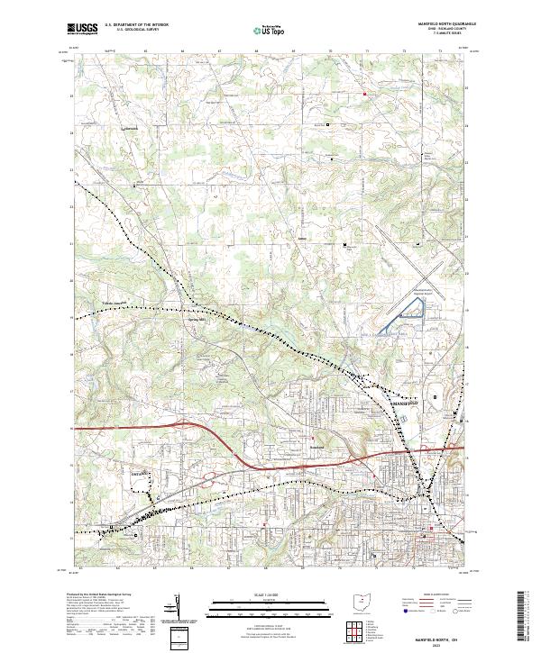
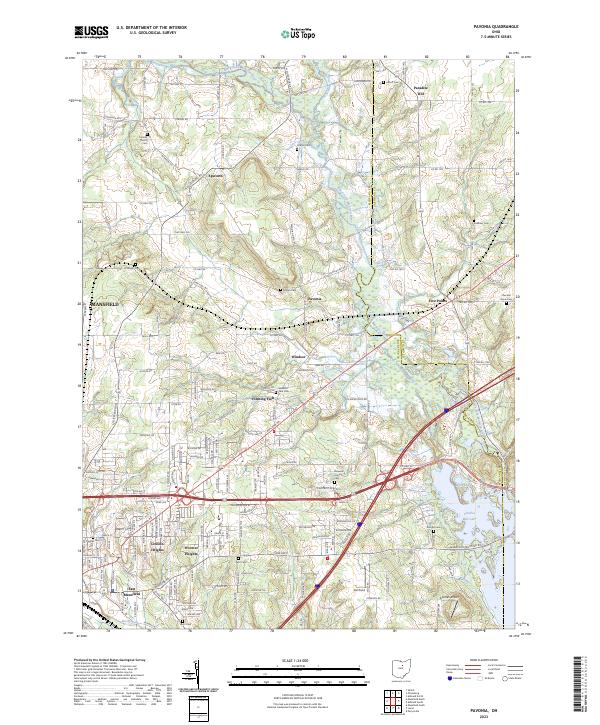
The Muskingum Watershed Conservancy District defines the eastern landscape of this quadrangle, where the Mohican River feeds into the sprawling Charles Mill Lake. This mid-century view captures the transition from the agricultural lands of Franklin and Weller townships into the expanding residential and industrial fringes of east Mansfield. Settlement patterns are visible in communities like Pavonia and Windsor, while the presence of the Conrail railroad line cutting diagonally across the map underscores the region's historical reliance on rail infrastructure for both freight and passenger transit.
Find a feature on this map
70 named features on this map. Tap any name to fly to it.
Don’t see what you’re looking for? This feature index may not catch every label — zoom into the map to look around manually.
Map Details
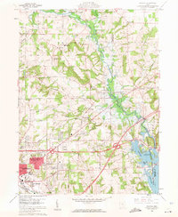
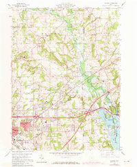
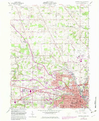
Editions of this 1960 Pavonia Map
3 editions found
Historical Maps of Mansfield Through Time
26 maps found

1915 Shauck
Richland County, OH

1943 Shauck
Richland County, OH
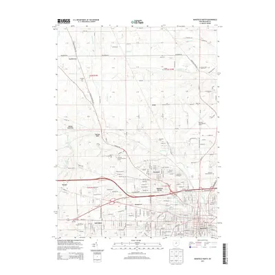
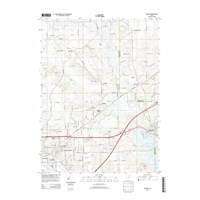
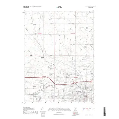
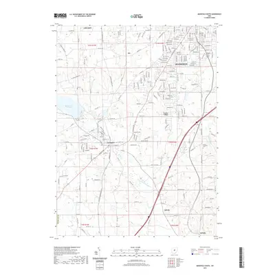
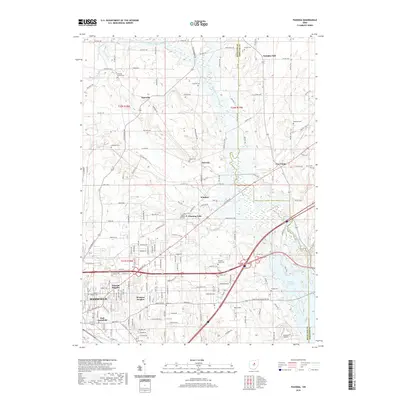
1960 Mansfield North
Richland County, OH
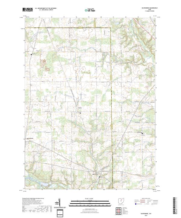
1960 Olivesburg
Richland County, OH
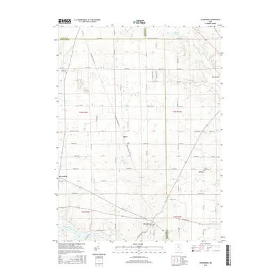
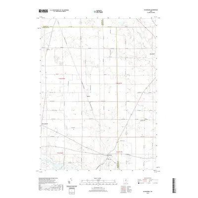
1960 Pavonia
Richland County, OH
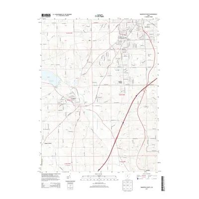
1961 Mansfield South
Richland County, OH
2010 Mansfield North
Richland County, OH
2010 Mansfield South
Richland County, OH
2010 Olivesburg
Richland County, OH
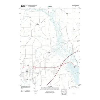
2010 Pavonia
Richland County, OH
2013 Mansfield North
Richland County, OH
2013 Mansfield South
Richland County, OH
2013 Olivesburg
Richland County, OH
2013 Pavonia
Richland County, OH
2016 Mansfield North
Richland County, OH
2016 Mansfield South
Richland County, OH
2016 Olivesburg
Richland County, OH
2016 Pavonia
Richland County, OH
2019 Mansfield North
Richland County, OH
2019 Mansfield South
Richland County, OH
2019 Olivesburg
Richland County, OH
2019 Pavonia
Richland County, OH
2023 Mansfield North
Richland County, OH

2023 Mansfield South
Richland County, OH
2023 Olivesburg
Richland County, OH
2023 Pavonia
Richland County, OH
Featured Locations
- Mifflin Township, OH
- Madison Township, OH
- Mansfield, OH
- Windsor, Mifflin Township
- Lincoln Heights, Madison Township