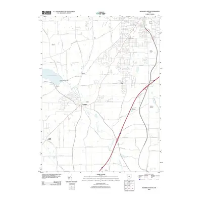
2010 Map of Mansfield South
USGS Topo · Published 2010About this map
The Clear Fork Mohican River defines the central corridor of this Richland County landscape, winding south from the Clear Fork Reservoir. The village of Lexington serves as a primary hub where regional roads and watercourses converge, showing a mix of established residential patterns and modern expansion. This 2010 survey illustrates the transition from the southern outskirts of Mansfield into a more diverse topography of infrastructure and agriculture, featuring the Mansfield Waterworks and the extensive Apple Hill Orchards.
Find a feature on this map
66 named features on this map. Tap any name to fly to it.
Don’t see what you’re looking for? This feature index may not catch every label — zoom into the map to look around manually.
Map Details
Editions of this 2010 Mansfield South Map
This is the sole edition of this map. No revisions or reprints were ever made.
Other maps of this area

1908 · Ashland
USGS Topo · 1:62,500

1912 · Perrysville
USGS Topo · 1:62,500

1915 · Crestline
USGS Topo · 1:62,500

1915 · Perrysville
USGS Topo · 1:62,500

1915 · Shauck
USGS Topo · 1:62,500

1943 · Shauck
USGS Topo · 1:62,500

1943 · Crestline
USGS Topo · 1:62,500

1944 · Perrysville
USGS Topo · 1:62,500

1950 · Marion
USGS Topo · 1:250,000

1960 · Pavonia
USGS Topo · 1:24,000