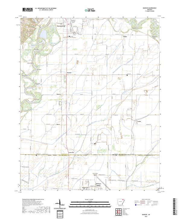
2024 Map of Manson
USGS Topo · Published 2024About this map
Pocahontas and Walnut Ridge anchor this survey of the Arkansas Delta borderlands, where the landscape transitions from established river towns to an intricate system of agricultural drainage. The Black River dominates the western topography, carving a series of distinct meanders including Luteman Bend, Chesser Bend, and Hoover Bend. These loops are flanked by oxbow remnants like Horseshoe Lake and Shakybog Lake, illustrating the river's historical shifts through the lowlands.
Find a feature on this map
95 named features on this map. Tap any name to fly to it.
Don’t see what you’re looking for? This feature index may not catch every label — zoom into the map to look around manually.
Map Details
Editions of this 2024 Manson Map
This is the sole edition of this map. No revisions or reprints were ever made.
Historical Maps of Elnora Through Time
12 maps found
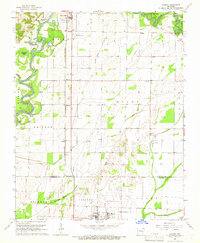
1965 Manson
Randolph County, AR
1966 Ravenden Springs SE
Randolph County, AR
1968 Dalton
Randolph County, AR
1968 Hardy NE
Randolph County, AR
1968 Supply
Randolph County, AR
1974 Noland
Randolph County, AR
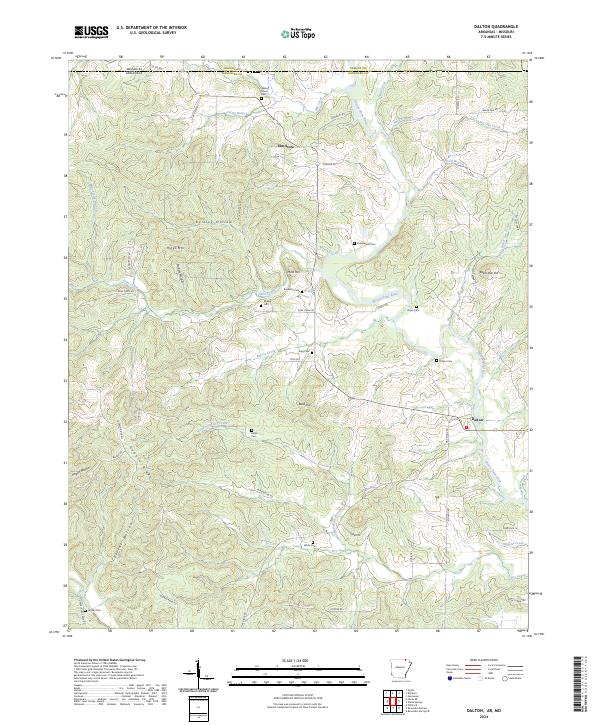
2024 Dalton
Randolph County, AR
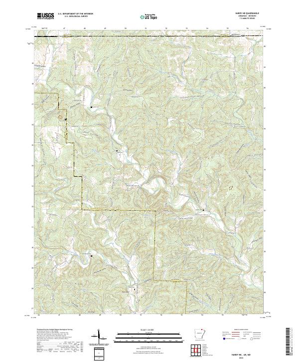
2024 Hardy NE
Randolph County, AR
2024 Manson
Randolph County, AR
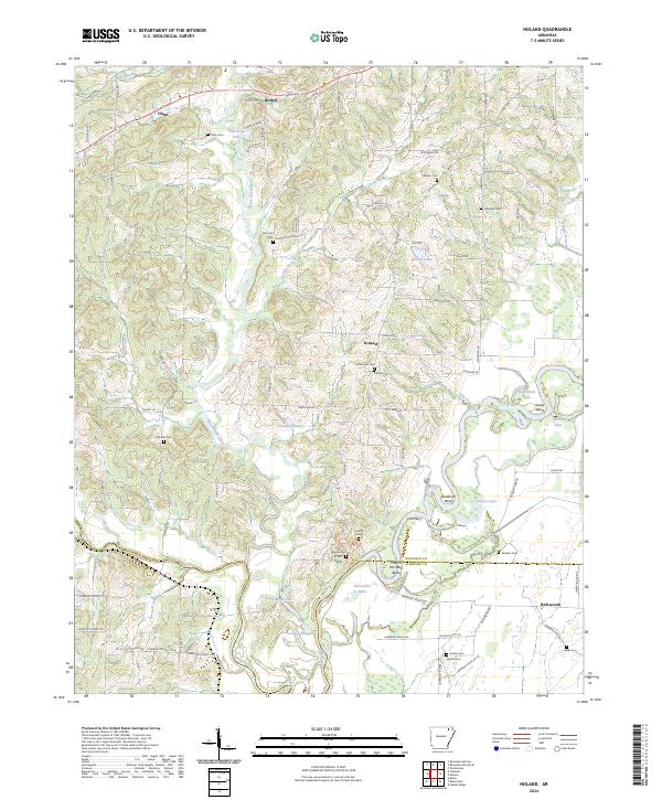
2024 Noland
Randolph County, AR
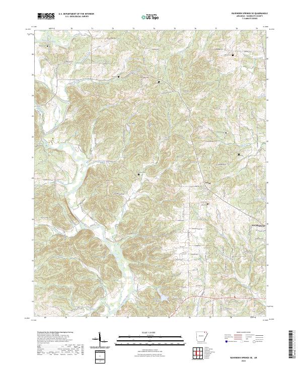
2024 Ravenden Springs SE
Randolph County, AR
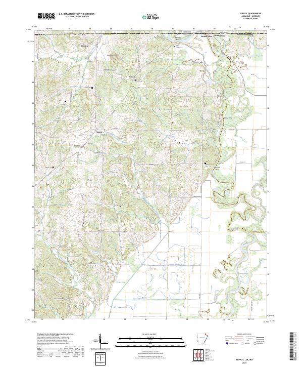
2024 Supply
Randolph County, AR