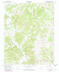
1966 Map of Ravenden Springs SE
USGS Topo · Published 1982About this map
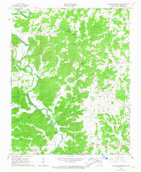
The Eleven Point River winds through this Randolph County landscape, creating a series of sharp bends and ridges in the years following the mid-1960s survey. The river's path is marked by historical crossing points such as the Black Ferry Bridge and several fords, reflecting a rural transportation network defined by the water. The upland areas are dotted with community landmarks that tell the story of local settlement, including Stony Point Ch, Shiloh Ch, and the Old Union Ch near the southern boundary.
Find a feature on this map
47 named features on this map. Tap any name to fly to it.
Don’t see what you’re looking for? This feature index may not catch every label — zoom into the map to look around manually.
Map Details
Editions of this 1966 Ravenden Springs SE Map
2 editions found
Other maps of this area

1932 · Walnut Ridge
USGS Topo · 1:62,500

1934 · Powhatan
USGS Topo · 1:62,500

1935 · Powhatan
USGS Topo · 1:62,500

1935 · Reyno
USGS Topo · 1:62,500

1935 · Walnut Ridge
USGS Topo · 1:62,500

1957 · Poplar Bluff
USGS Topo · 1:250,000

1959 · Poplar Bluff
USGS Topo · 1:250,000

1960 · Poplar Bluff
USGS Topo · 1:250,000
1965 · Manson
USGS Topo · 1:24,000

1966 · Ravenden Springs
USGS Topo · 1:24,000