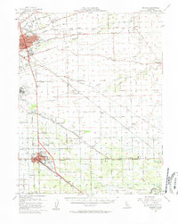
1952 Map of Manteca
USGS Topo · Published 1958About this map
Agricultural development and early Cold War-era logistics define this San Joaquin Valley landscape. The Southern Pacific and Tidewater Southern railroads anchor the shipping corridor between Stockton and Manteca, where the heavy footprint of the Sharpe General Depot and Stockton Field indicates the region's mid-century military importance. Beyond the urban centers, the map reveals a dense network of rural schools serving farming communities, including Chartville School, Four Trees School, and Veritas Sch. The irrigation and drainage infrastructure is equally prominent, with the Stockton and Diverting Canal and Mormon Slough managing the seasonal waters of the valley floor. To the south, industrial landmarks like the Sugar Refinery Oil Tank and a Winery near Bardi reflect the area's transition from raw ranching to specialized food processing during the post-war boom.
Find a feature on this map
59 named features on this map. Tap any name to fly to it.
Don’t see what you’re looking for? This feature index may not catch every label — zoom into the map to look around manually.
Map Details
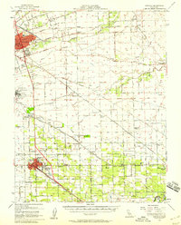
Editions of this 1952 Manteca Map
2 editions found
Other maps of this area

1889 · Jackson
USGS Topo · 1:125,000

1892 · Jackson
USGS Topo · 1:125,000

1894 · Lodi
USGS Topo · 1:125,000

1897 · Jackson
USGS Topo · 1:125,000

1902 · Jackson
USGS Topo · 1:125,000

1908 · Waterloo
USGS Topo · 1:31,680

1908 · Linden
USGS Topo · 1:31,680

1910 · Castle
USGS Topo · 1:31,680

1913 · Stockton
USGS Topo · 1:31,680

1914 · Burnham
USGS Topo · 1:31,680