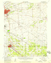
1952 Map of Manteca
USGS Topo · Published 1958About this map
Agricultural development in the San Joaquin Valley defines this mid-century landscape, centered on the growing hub of Manteca. To the northwest, the city of Stockton shows established residential patterns and industrial infrastructure, including Franklin High School and a sugar refinery. The rail network is particularly dense here, featuring the Southern Pacific and Atchison Topeka and Santa Fe lines which facilitated the export of regional produce.
Find a feature on this map
86 named features on this map. Tap any name to fly to it.
Don’t see what you’re looking for? This feature index may not catch every label — zoom into the map to look around manually.
Map Details
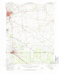
Editions of this 1952 Manteca Map
2 editions found
Other maps of this area

1889 · Jackson
USGS Topo · 1:125,000

1892 · Jackson
USGS Topo · 1:125,000

1894 · Lodi
USGS Topo · 1:125,000

1897 · Jackson
USGS Topo · 1:125,000

1902 · Jackson
USGS Topo · 1:125,000

1908 · Waterloo
USGS Topo · 1:31,680

1908 · Linden
USGS Topo · 1:31,680

1910 · Castle
USGS Topo · 1:31,680

1913 · Stockton
USGS Topo · 1:31,680

1914 · Burnham
USGS Topo · 1:31,680