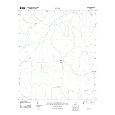
2011 Map of Mantua
USGS Topo · Published 2011About this map
Mantua and Benevola anchor this West Alabama landscape where the winding Sipsey River carves through Greene County. The map is particularly notable for its density of rural burial grounds, including the Bethesda Church Yard Cemetery and the Sixteenth Section Cemetery, which often mark the sites of early congregation centers. The settlement pattern is defined by traditional crossroads and small community hubs like Morrows Grove and Snoddy, connected by a network of named country roads such as Coloine Carptender Rd and Maughan Rd. The topography is shaped by the drainage of Brush Creek and Little Creek, with the Mantua Post Office serving as a primary landmark for this sparsely populated rural district in the early 21st century.
Find a feature on this map
37 named features on this map. Tap any name to fly to it.
Don’t see what you’re looking for? This feature index may not catch every label — zoom into the map to look around manually.
Map Details
Editions of this 2011 Mantua Map
This is the sole edition of this map. No revisions or reprints were ever made.
Other maps of this area

1927 · Eutaw
USGS Topo · 1:48,000

1931 · Eutaw
USGS Topo · 1:62,500

1953 · Montgomery
USGS Topo · 1:250,000

1953 · Birmingham
USGS Topo · 1:250,000

1953 · Meridian
USGS Topo · 1:250,000

1953 · West Point
USGS Topo · 1:250,000

1956 · Birmingham
USGS Topo · 1:250,000

1956 · Montgomery
USGS Topo · 1:250,000

1957 · Birmingham
USGS Topo · 1:250,000

1957 · Meridian
USGS Topo · 1:250,000