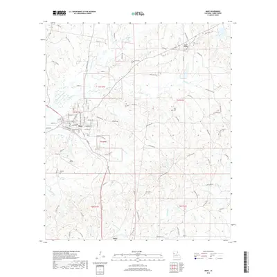
2018 Map of Many
USGS Topo · Published 2018About this map
The Sabine Parish seat of Many serves as the central hub of this northern Louisiana landscape, where the town grid transitions into a network of bayous and creek drainages. To the northeast, the historic outpost of Fort Jesup and the Fort Jesup Cem reflect the area’s long-standing strategic importance. The terrain is defined by a dense system of watercourses including Harpoon Bayou, Blackwell Cr, and San Jose Cr, which once guided the early movement of settlers through these pine-laden hills.
Find a feature on this map
93 named features on this map. Tap any name to fly to it.
Don’t see what you’re looking for? This feature index may not catch every label — zoom into the map to look around manually.
Map Details
Editions of this 2018 Many Map
This is the sole edition of this map. No revisions or reprints were ever made.
Other maps of this area

1941 · Zwolle
USGS Topo · 1:62,500

1942 · Many
USGS Topo · 1:62,500

1942 · Florien
USGS Topo · 1:62,500

1943 · Many
USGS Topo · 1:62,500

1944 · Negreet
USGS Topo · 1:62,500

1944 · Florien
USGS Topo · 1:62,500

1944 · Zwolle
USGS Topo · 1:62,500

1953 · Alexandria
USGS Topo · 1:250,000

1954 · Florien
USGS Topo · 1:62,500
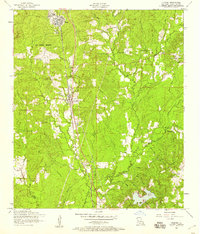
1954 · Florien
USGS Topo · 1:24,000