2024 Map of Many
USGS Topo · Published 2024About this map
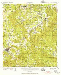
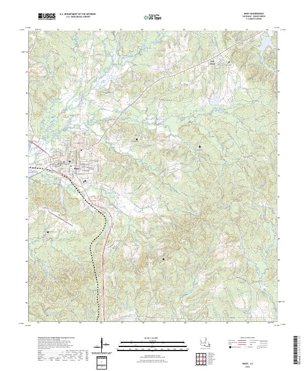
The Sabine Parish Courthouse serves as the focal point of Many, where a network of residential streets like Georgia Avenue and Washington Street meet the rural roads of the Louisiana interior. To the northeast, the site of Fort Jesup preserves a legacy of early frontier defense, surrounded by a landscape defined by small family cemeteries and a dense web of bayous. The terrain is deeply carved by drainage systems including Harpoon Bayou, Blackwell Creek, and San Jose Creek, which feed into larger arteries like Toro Creek in the south.
Find a feature on this map
97 named features on this map. Tap any name to fly to it.
Don’t see what you’re looking for? This feature index may not catch every label — zoom into the map to look around manually.
Map Details
Editions of this 2024 Many Map
This is the sole edition of this map. No revisions or reprints were ever made.
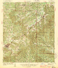
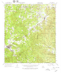
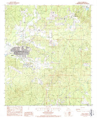
Historical Maps of Fort Jesup Through Time
6 maps found