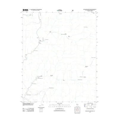
2012 Map of Manzanita Mountain
USGS Topo · Published 2012About this map
Manzanita Mountain anchors a landscape defined by the drainage systems of the N Fork La Brea Cr and S Fork La Brea Cr in Santa Barbara County. This high-country region is marked by a network of seasonal camps and springs, including Horseshoe Spring and several remote outposts like Wagon Flat Campground and Jesse Campground. The terrain is deeply incised by numerous named canyons such as Salsipuedes Canyon, Cuchudas Canyon, and Ramrod Canyon, indicating a complex topography where water sources and natural shelter dictate human activity.
Find a feature on this map
32 named features on this map. Tap any name to fly to it.
Don’t see what you’re looking for? This feature index may not catch every label — zoom into the map to look around manually.
Map Details
Editions of this 2012 Manzanita Mountain Map
This is the sole edition of this map. No revisions or reprints were ever made.
Other maps of this area

1902 · Santa Ynez
USGS Topo · 1:125,000

1905 · Santa Ynez
USGS Topo · 1:125,000

1905 · Lompoc
USGS Topo · 1:125,000

1912 · McKittrick
USGS Topo · 1:125,000

1937 · Branch Mtn
USGS Topo · 1:48,000

1941 · Caliente Mountain
USGS Topo · 1:62,500

1941 · McPherson Peak
USGS Topo · 1:62,500

1942 · Lompoc
USGS Topo · 1:125,000

1942 · Branch Mountain
USGS Topo · 1:62,500

1942 · Caliente Mtn
USGS Topo · 1:62,500