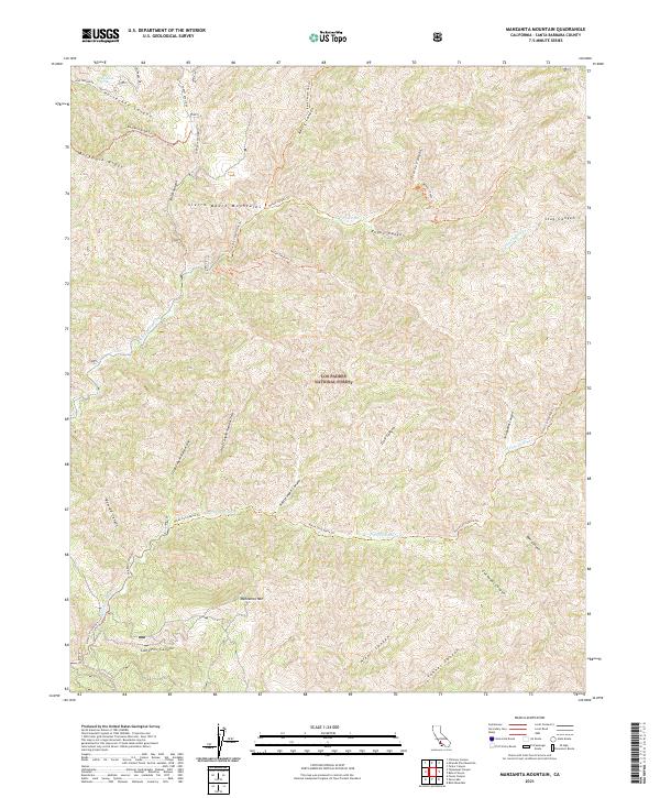
2021 Map of Manzanita Mountain
USGS Topo · Published 2021About this map
The Sierra Madre Mountains form the backbone of this backcountry survey within Los Padres National Forest, where a network of trails and primitive roads navigates a landscape defined by sharp elevation changes and seasonal drainages. Modern recreational use is evidenced by the Kerry Canyon Ohv Trl and Roque Canyon Trl, while historic routes like the White Elephant Trl and Buckhorn Ridge Trl trace the ridgelines and canyon floors. The presence of Horseshoe Spring in the northwest corner highlights the critical importance of water sources in this arid environment.
Find a feature on this map
39 named features on this map. Tap any name to fly to it.
Don’t see what you’re looking for? This feature index may not catch every label — zoom into the map to look around manually.
Map Details
Editions of this 2021 Manzanita Mountain Map
This is the sole edition of this map. No revisions or reprints were ever made.
Other maps of this area

1902 · Santa Ynez
USGS Topo · 1:125,000

1905 · Santa Ynez
USGS Topo · 1:125,000

1905 · Lompoc
USGS Topo · 1:125,000

1912 · McKittrick
USGS Topo · 1:125,000

1937 · Branch Mtn
USGS Topo · 1:48,000

1941 · Caliente Mountain
USGS Topo · 1:62,500

1941 · McPherson Peak
USGS Topo · 1:62,500

1942 · Lompoc
USGS Topo · 1:125,000

1942 · Branch Mountain
USGS Topo · 1:62,500

1942 · Caliente Mtn
USGS Topo · 1:62,500