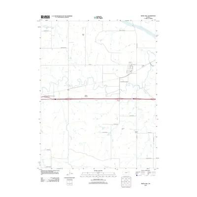
2012 Map of Maple Hill
USGS Topo · Published 2012About this map
Mill Cr and its many tributaries, including Dog Cr and Johnson Cr, define the drainage patterns of this Wabaunsee County landscape. The settlement of Vera sits near the center of the sheet, situated north of a modern transportation corridor that includes a designated Wabaunsee County Rest Area. To the northeast, the Kansas River skirts the corner of the quadrangle near Maple Hill Rd.
Find a feature on this map
34 named features on this map. Tap any name to fly to it.
Don’t see what you’re looking for? This feature index may not catch every label — zoom into the map to look around manually.
Map Details
Editions of this 2012 Maple Hill Map
This is the sole edition of this map. No revisions or reprints were ever made.
Other maps of this area

1885 · Eskridge
USGS Topo · 1:125,000

1889 · Burlingame
USGS Topo · 1:125,000

1889 · Wamego
USGS Topo · 1:125,000

1889 · Eskridge
USGS Topo · 1:125,000

1889 · Topeka
USGS Topo · 1:125,000

1894 · Eskridge
USGS Topo · 1:125,000

1894 · Burlingame
USGS Topo · 1:125,000

1894 · Topeka
USGS Topo · 1:125,000

1894 · Wamego
USGS Topo · 1:125,000

1947 · Lawrence
USGS Topo · 1:250,000