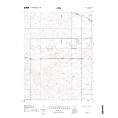
2018 Map of Maple Hill
USGS Topo · Published 2018About this map
Maple Hill serves as the primary settlement in this northeast Kansas landscape, situated just south of the Kansas River near the border of Shawnee and Wabaunsee counties. The topography is defined by the winding course of Mill Creek, which flows through the center of the quadrangle, and prominent rises such as Buffalo Mound and Tabor Hill. The town itself features a established grid including Main St and Prairie Ave, while the surrounding rural areas are dotted with family-named landmarks and historical sites.
Find a feature on this map
47 named features on this map. Tap any name to fly to it.
Don’t see what you’re looking for? This feature index may not catch every label — zoom into the map to look around manually.
Map Details
Editions of this 2018 Maple Hill Map
This is the sole edition of this map. No revisions or reprints were ever made.
Other maps of this area

1885 · Eskridge
USGS Topo · 1:125,000

1889 · Burlingame
USGS Topo · 1:125,000

1889 · Wamego
USGS Topo · 1:125,000

1889 · Eskridge
USGS Topo · 1:125,000

1889 · Topeka
USGS Topo · 1:125,000

1894 · Eskridge
USGS Topo · 1:125,000

1894 · Burlingame
USGS Topo · 1:125,000

1894 · Topeka
USGS Topo · 1:125,000

1894 · Wamego
USGS Topo · 1:125,000

1947 · Lawrence
USGS Topo · 1:250,000