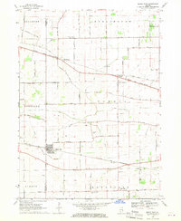
1968 Map of Maple Park
USGS Topo · Published 1970About this map
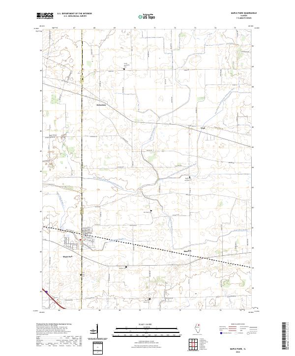
Maple Park and the surrounding agricultural landscape of the De Kalb Co Kane Co border are meticulously documented in this late-1960s survey. The area is defined by a grid of rural roads and the path of the Chicago and North Western railroad, which links the small settlements of Richardson, Virgil, and Meredith. The map is particularly useful for genealogical research, identifying numerous rural burial grounds such as South Burlington Cem, Thatcher Cem, and Old St Marys Cem. Local education and religious life are centered at SS Peter and Paul Sch and the Kaneland Sch campus. The terrain is largely dominated by agricultural drainage, notably Union Ditch, while the slight elevation of Mt Hunger rises above the glacial plains. Resource extraction is evident in several Gravel Pits scattered near the rail lines, reflecting the local industrial activity of the era.
Find a feature on this map
67 named features on this map. Tap any name to fly to it.
Don’t see what you’re looking for? This feature index may not catch every label — zoom into the map to look around manually.
Map Details
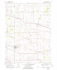
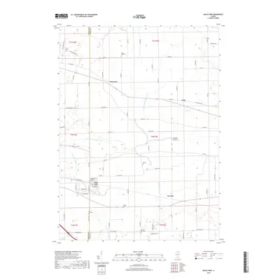
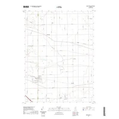
Editions of this 1968 Maple Park Map
2 editions found
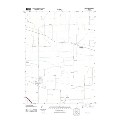
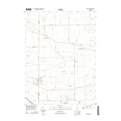
Historical Maps of Maple Park Through Time
6 maps found
Featured Locations
- Maple Park, IL
- Burlington Township, IL
- Kaneville Township, IL
- Virgil Township, IL
- Virgil, Virgil Township