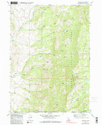
1969 Map of Mapleton
USGS Topo · Published 1981About this map
Mapleton and Cherryville anchor the western edge of this 1969 survey, where the valley floor transitions into the high elevations of the Cache National Forest. The landscape is defined by the steep canyons and ridges of the Bear River Range, including Andrew Nyman Mountain and the high Gibson Lakes. A dense network of drainage systems including Cub River, Worm Creek, and Foster Creek carve through the terrain, supported by numerous named water sources like Chatterton Spring and Paul Jones Spring.
Find a feature on this map
43 named features on this map. Tap any name to fly to it.
Don’t see what you’re looking for? This feature index may not catch every label — zoom into the map to look around manually.
Map Details
Editions of this 1969 Mapleton Map
3 editions found
Other maps of this area

1914 · Logan
USGS Topo · 1:125,000

1915 · Preston
USGS Topo · 1:96,000

1916 · Logan
USGS Topo · 1:125,000

1918 · Preston
USGS Topo · 1:125,000

1954 · Ogden
USGS Topo · 1:250,000

1955 · Preston
USGS Topo · 1:250,000

1958 · Ogden
USGS Topo · 1:250,000

1958 · Preston
USGS Topo · 1:250,000

1960 · Ogden
USGS Topo · 1:250,000

1962 · Preston
USGS Topo · 1:250,000