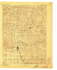
1891 Map of Maquoketa
USGS Topo · Published 1906About this map
Maquoketa serves as the central hub of this late 19th-century landscape, where the confluence of the North Fork Maquoketa River and the main Maquoketa River dictates the local geography. The map reveals a highly structured township system, with the rugged drainage basins of Otter Creek and Lytle Creek carving through the northern sections. This 1889 survey captures the critical junction of the Chicago and North Western Railroad and the Chicago Milwaukee and St. Paul Railroad at Delmar, a development that transformed the region's agricultural economy. Smaller settlements like Andrew, Fulton, and Bridgeport are depicted as established clusters within the broader network of Jackson County's farm-to-market roads, reflecting the era's reliance on river-bottom lands and nascent rail corridors.
Find a feature on this map
26 named features on this map. Tap any name to fly to it.
Don’t see what you’re looking for? This feature index may not catch every label — zoom into the map to look around manually.
Map Details
Editions of this 1891 Maquoketa Map
3 editions found
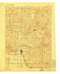
Other maps of this area

1891 · DeWitt
USGS Topo · 1:62,500

1891 · Maquoketa
USGS Topo · 1:62,500

1891 · Baldwin
USGS Topo · 1:62,500

1892 · Wheatland
USGS Topo · 1:62,500

1892 · Goose Lake
USGS Topo · 1:62,500

1894 · Wheatland
USGS Topo · 1:62,500

1894 · Goose Lake
USGS Topo · 1:62,500

1899 · Clinton
USGS Topo · 1:125,000

1901 · Peosta
USGS Topo · 1:125,000

1901 · Rock Island
USGS Topo · 1:125,000