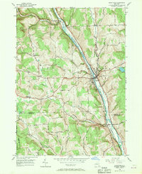
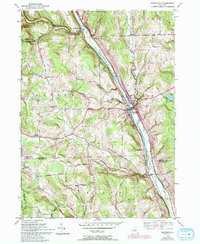
1950 Map of Marathon
USGS Topo · Published 1969About this map
The Tioughnioga River valley serves as the primary corridor for commerce and transport through this section of New York, carrying the Delaware Lackawanna and Western railroad through the village of Marathon. This mid-century survey illustrates the rural character of the southern Finger Lakes region, where small hillside settlements like East Virgil and Messengerville are linked by a network of winding roads such as Parker Street Road and Browntown Road.
Find a feature on this map
40 named features on this map. Tap any name to fly to it.
Don’t see what you’re looking for? This feature index may not catch every label — zoom into the map to look around manually.
Map Details
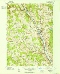
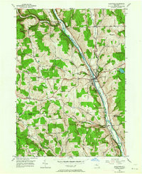
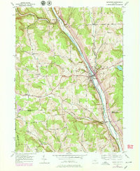
Editions of this 1950 Marathon Map
5 editions found
Other maps of this area

1903 · Cortland
USGS Topo · 1:62,500

1903 · Harford
USGS Topo · 1:62,500

1904 · Greene
USGS Topo · 1:62,500

1904 · Pitcher
USGS Topo · 1:62,500

1906 · Catatonk
USGS Topo · 1:125,000

1943 · Cincinnatus
USGS Topo · 1:24,000

1944 · Cortland
USGS Topo · 1:31,680
1944 · Mc Graw
USGS Topo · 1:31,680
1944 · Cincinnatus
USGS Topo · 1:31,680

1948 · Binghamton
USGS Topo · 1:250,000